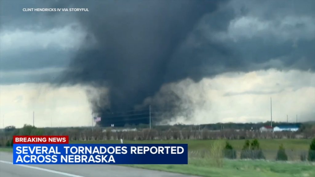
DES MOINES, IA & OMAHA, NE – Enjoy the nice weather while it lasts, because a storm is moving in late Monday night, bringing heavy rain, strong winds, and tough travel conditions through Tuesday.
Spring storms are officially here, and this one is coming with a punch—so if you’ve got outdoor plans or a morning commute to think about, now’s the time to get ready.
Monday, March 4 – Calm Before the Storm
Des Moines High: 58°F (14°C) | Low: 39°F (4°C)
Omaha High: 59°F (15°C) | Low: 39°F (4°C)
Daytime: Mild, breezy, and mostly dry.
Evening: Clouds roll in, and rain starts late Monday night.
Monday will actually feel pretty nice, with sunshine and mild temperatures. But don’t get too comfortable—by late evening, clouds roll in, the wind picks up, and rain starts moving in.
Use Monday to prepare—charge up devices, bring in outdoor furniture, and check your commute plan.
Tuesday, March 5 – Stormy, Windy & Messy
Des Moines High: 59°F (15°C) | Low: 28°F (-2°C)
Omaha High: 60°F (16°C) | Low: 28°F (-2°C)
Heavy Rain: Up to 1.5 inches possible
Wind Gusts: Could hit 40+ mph
Tuesday is going to be wet, windy, and all-around messy. Expect heavy rain at times, gusty winds, and minor flooding in some spots.
What 40+ mph winds mean for you:
✔ Loose items outside? They could end up down the street. Bring them in or secure them!
✔ Driving will be tough, especially for trucks and SUVs.
✔ Tree limbs could come down, and scattered power outages are possible.
If you’re driving Tuesday morning, plan for extra time. Wind + rain = slick roads and low visibility.
What This Storm Could Bring
1. Heavy Rain & Possible Flooding
- We’re looking at up to 1.5 inches of rain, which isn’t extreme, but it’s enough to cause ponding on roads and minor flooding in low-lying areas.
- If you drive through flood-prone areas, take it slow and watch for standing water.
2. Strong Winds Could Knock Out Power
- Winds over 40 mph are no joke—they can bring down tree limbs and cause scattered power outages.
- Have a flashlight, extra batteries, and your phone charged up.
3. Tough Driving Conditions
- Rain + wind = poor visibility and slick roads.
- If you’re on the interstates (I-80, I-29), watch out for gusty crosswinds, especially if you’re driving a truck, SUV, or trailer.
- Give big trucks extra space—they’ll be harder to control in the wind.
How to Prepare Before the Storm Hits
Charge Up Your Devices – If the wind knocks out power, you’ll want your phone and flashlight ready.
Secure Outdoor Items – Trash cans, patio chairs, decorations—bring them inside or tie them down before the wind takes them for a ride.
Plan for a Slower Commute – Wet roads + strong winds = a tricky drive. Give yourself extra time.
Stay Updated – Keep an eye on the latest weather alerts and road conditions in case things get worse.
What’s Next?
By Wednesday, the storm moves out, but temps drop into the 30s and 40s.
The wind will stick around, but the worst of the rain will be over.
Get Ready for a Stormy Tuesday!
✔ Monday is mild, but rain moves in late at night.
✔ Tuesday brings heavy rain, strong winds, and messy travel.
✔ Be prepared for possible power outages and flooded roads.
✔ Check the forecast, stay safe, and don’t get caught off guard!


