

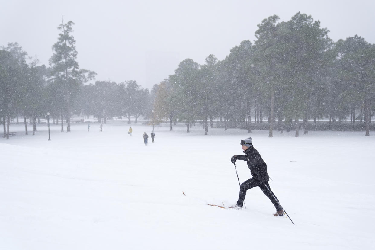
San Francisco may have been enjoying a break from winter’s chill, but don’t let the sunshine fool you—major weather changes are on the way! A powerful storm system is moving in, bringing rain, potential thunderstorms, and a sharp drop in temperatures. If you’ve packed away your jackets and umbrellas, you might want to dig them out now. This week is shaping up to be a wet and chilly one, with unpredictable conditions that could catch many off guard.
Storm Systems Are Moving In
After a streak of warmer, dry days, a strong cold front is set to shake things up. Meteorologists report that San Francisco and the Bay Area will see a shift starting late Tuesday, with the first round of rain rolling in overnight. By Wednesday morning, showers will spread across the region, and there’s even a chance for thunderstorms in some areas.
This storm isn’t just a one-and-done event. Weather models suggest multiple waves of precipitation throughout the week, making conditions unpredictable. While the rainfall totals may not break records, the sudden change in weather will be noticeable—especially after such mild temperatures recently.
How Much Rain Are We Talking About?
The National Weather Service predicts that most areas in San Francisco will see anywhere from a tenth to a quarter of an inch of rain. While this may not seem like much, the real concern is the potential for sudden, heavier showers and isolated thunderstorms. These could bring quick bursts of downpours, gusty winds, and even small hail in some areas. If you’re out and about, be prepared for sudden changes—one moment could be dry, and the next could bring sheets of rain.
Temperatures Are About to Take a Dive
If you’ve been enjoying the recent 60-degree days, brace yourself for a rude awakening. Once this storm system arrives, daytime highs will struggle to break into the 50s, and overnight lows could dip into the low 40s. That’s a sharp contrast to the relatively comfortable temperatures we’ve been seeing. Wind chills could make it feel even colder, so dressing in layers will be key.
What You Need to Know to Stay Safe
San Francisco may not be known for extreme storms, but it’s always smart to be prepared when weather conditions shift dramatically. Here’s how to stay safe and dry:
- Check Weather Updates Regularly – Conditions may change fast, so keep an eye on the forecast.
- Drive With Caution – Wet roads can be slippery, and sudden showers can reduce visibility. Leave extra time for commutes.
- Secure Outdoor Items – Wind gusts can easily knock over patio furniture, trash cans, and lightweight decorations.
- Dress for the Cold – A warm jacket and waterproof gear will help keep you comfortable.
Final Thoughts: Winter’s Not Over Yet!
This week’s storm serves as a reminder that winter isn’t quite done with the Bay Area. Rain, possible thunderstorms, and colder temperatures will make for an eventful few days, so it’s best to be prepared. Don’t be caught off guard—grab that raincoat, check the forecast, and stay safe as San Francisco gears up for a major weather shift.

