
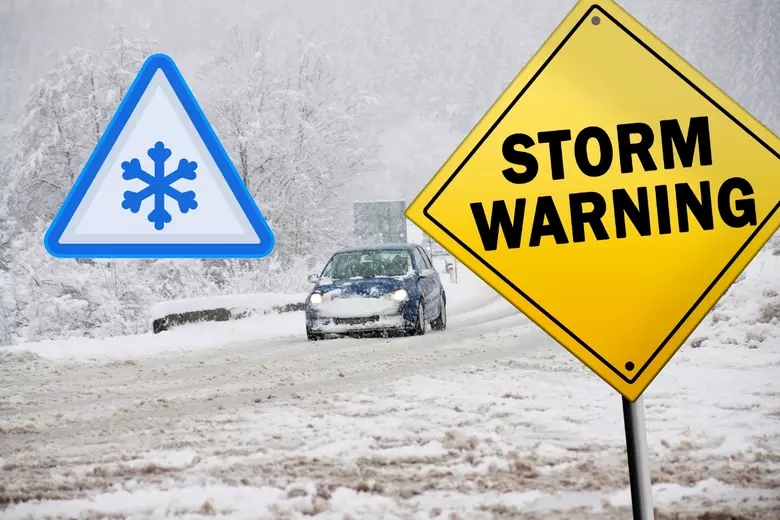
If you thought spring was on its way, think again—Idaho is about to get buried under fresh snow! A powerful winter storm is moving in, bringing heavy snow, gusty winds, and messy travel conditions from Wednesday night through Friday morning.
The National Weather Service has issued a Winter Storm Warning, and if you have travel plans, you might want to reconsider—this storm will make getting around tough, especially in the mountains.
Who’s Getting Hit the Hardest?
This storm will pack the biggest punch in the higher elevations, with some areas getting close to two feet of snow!
Bear River Range
Franklin & Eastern Oneida Region
Marsh & Arbon Highlands
Raft River Region
Southern Hills & Albion Mountains
If you live in or need to travel through these areas, expect deep snow, poor visibility, and dangerous road conditions.
How Much Snow?
- Lower elevations (below 6,000 feet): 2 to 6 inches—enough to make roads slick.
- Higher elevations (above 6,000 feet): 10 to 20 inches—a serious winter storm!
When will the worst of it hit?
- Wednesday night: Snow starts falling, but it’ll be light at first.
- Thursday & Friday: The heaviest snowfall and strongest winds arrive.
Wind + Snow = Travel Headaches
This isn’t just about snow—the winds will make things even worse.
Blowing and drifting snow could cause whiteout conditions in open areas.
Snowdrifts will pile up fast, making roads even harder to navigate.
Icy, slick roads + strong gusts = a rough drive.
If you must travel, check road conditions before heading out at 511.idaho.gov.
What This Means for Drivers
Highways and mountain roads will be dangerous—even with plows working around the clock.
Traction laws will likely be in effect—chains or snow tires may be required in some areas.
Slow down and allow extra time if you absolutely must be on the road.
Best advice? If you don’t have to drive, stay home!
How to Prepare for the Storm
Limit travel. If you don’t need to be on the roads, stay put!
Stock up on essentials. If you live in a mountain town, get your groceries, firewood, and supplies before the storm gets worse.
Be ready for power outages. Heavy snow + wind could knock out power lines.
Keep a winter emergency kit in your car. Include blankets, snacks, water, and a flashlight—just in case.
When Will It Clear Up?
The worst of the storm should start winding down by Friday morning, but slick roads and snow-covered highways could still be an issue heading into the weekend. After that, expect drier weather and slowly rising temperatures.

