
Washington, D.C. is going through a weather rollercoaster this week. Just days after a major snowstorm shut down schools and made travel a nightmare, the city is now warming up, bringing rain, melting snow, and potential flooding concerns.
If you thought winter was taking a break, think again—another storm is already on the horizon for the weekend.
From Snowy Streets to Soaking Roads
This morning, light rain is falling across the D.C. area, with temperatures hovering in the mid-30s. What makes today’s weather tricky is that snow from earlier in the week is now melting, and with rain adding to the mix, streets and sidewalks are turning into slushy messes.
By the afternoon, expect a sharp warm-up, with highs reaching around 54°F (12°C). That’s a big jump from the freezing temperatures earlier this week! The rain will taper off later in the day, and we might even see some breaks of sunshine before nightfall.
However, don’t get too comfortable. Tonight, temperatures will plunge back below freezing to 27°F (-3°C), which means all that melting snow and leftover rain could refreeze overnight, creating black ice and slick roads for the Friday morning commute.
Another Storm Looms—What’s Coming Next?
If you were hoping for a calm weekend, bad news—another storm is already heading toward D.C. Forecasters are tracking a strong system that could bring more rain, gusty winds, and possibly even another round of snow.
Right now, it’s too early to say exactly how bad it will get, but residents should be prepared for another messy few days ahead.
How This Crazy Weather Could Affect You
- Slippery Roads & Ice Tonight – Melting snow will refreeze overnight, which means roads and sidewalks could be extremely slick Friday morning. Even if it looks dry, hidden ice patches could catch drivers and pedestrians off guard.
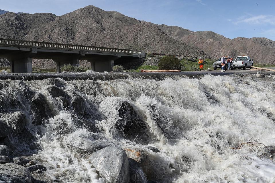
- Street Flooding Possible – With rain falling on top of melting snow, storm drains might not be able to keep up, leading to large puddles and minor street flooding in some areas.
- Weekend Travel May Be a Mess – If the next storm delivers more rain or snow, it could impact flights, roads, and weekend plans. Keep an eye on the forecast as we get closer to Saturday.
What You Should Do to Stay Safe
- Take It Slow on the Roads – Whether it’s wet, slushy, or icy, roads could be tricky for the next 24 hours. Leave extra time for your commute and watch for black ice Friday morning.
- Be Ready for Puddles and Flooded Streets – If you’re walking around the city, expect slushy conditions and deep puddles in poorly drained areas. Waterproof boots? A great idea today.
- Pay Attention to the Weekend Forecast – Another storm is on the way, so stay updated on any new warnings or advisories.
Final Thoughts: A Messy Few Days for D.C.
D.C.’s weather just can’t make up its mind—from a snowstorm to rain, then another storm right around the corner. Today’s warm-up might feel nice, but it’s bringing its own set of problems, from melting snow to icy roads tonight.
If you haven’t already, get prepared now—keep an eye on the forecast, drive carefully, and get ready for whatever Mother Nature throws at us next. Winter isn’t done yet

