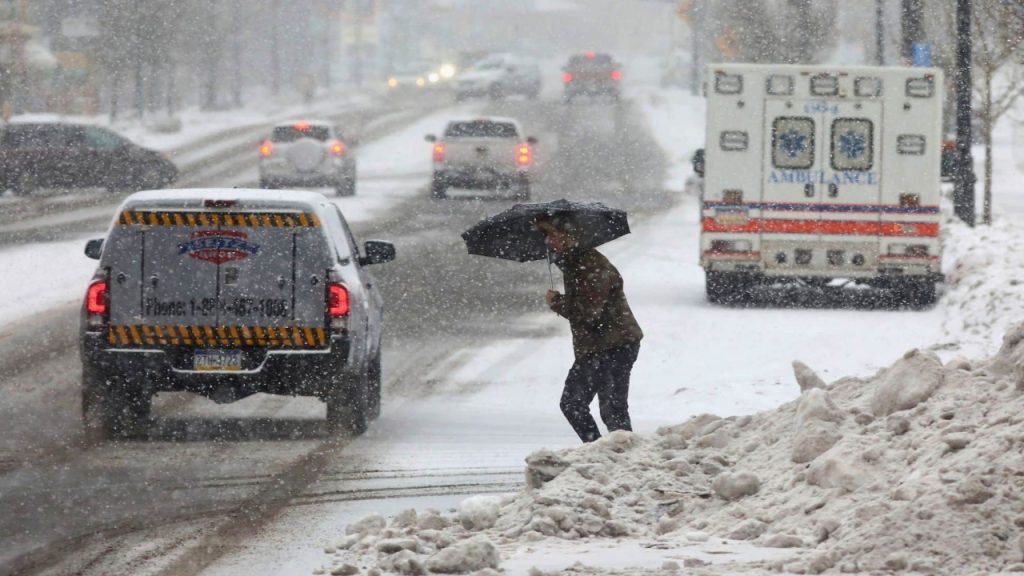
Spring in South Dakota sure has a funny way of showing up. Instead of sunshine and blooming flowers, we’re getting a messy mix of rain, snow, and freezing rain that’s going to stick around through Wednesday night. If you’re planning to travel along I-90, be prepared for slick roads, reduced visibility, and potential delays—especially after sunset when temperatures drop and icy conditions set in.
What’s Going On?
A spring storm system is sweeping through the state, bringing a little bit of everything: wet snow, freezing rain, and cold drizzle—depending on where you are. Temperatures are hovering right around freezing, which means the precipitation is switching between rain and ice in some areas, making for a slippery mess on the roads.
The worst conditions are expected this afternoon into the evening, just in time for the evening commute. Wind gusts up to 30 MPH will only add to the chaos, blowing around snow and further reducing visibility.
Who’s Getting Hit the Hardest?
This system is making the I-90 corridor a mess, but the surrounding areas won’t be spared either. Here’s what you can expect based on where you are:
-
Sioux Falls & Eastern South Dakota – Mostly rain and freezing rain, meaning ice could quickly build up on roads, bridges, and overpasses. Even if roads look wet, they could be slick!
-
Central South Dakota – A wintry mix that could transition into slushy, wet snow as temperatures drop. Expect slippery side streets and slow-moving traffic.
-
Western South Dakota & Higher Elevations – This area will see mainly snow, with 1-3 inches of accumulation possible. Snow-covered roads will make for a slow and slippery drive.
Why This Matters
If you’re driving along I-90, expect slippery conditions, slower traffic, and possible road closures in spots where freezing rain hits the hardest. Truckers and commuters should be especially careful, as untreated roads could turn into sheets of ice overnight.
And it’s not just the roads—sidewalks, driveways, and parking lots could also become dangerously slick, making even a quick walk outside risky. If freezing rain sticks around long enough, power lines and tree branches could see some ice buildup too.
What You Need to Know:
Roads will be slippery—ice is likely, especially after sunset.
1-3 inches of wet snow expected in western South Dakota.
Wind gusts up to 30 MPH could make visibility even worse.
If you don’t have to travel, it might be best to stay put.
How to Stay Safe on the Roads
✔ Take it slow! Even if the road looks just wet, black ice could be lurking.
✔ Give yourself extra time—better to be late than in a ditch.
✔ Bridges and overpasses will freeze first, so approach them cautiously.
✔ Check road conditions before heading out.
✔ If you can, stay home until conditions improve.
When Will This Mess Clear Up?
The good news? This storm system should start winding down overnight Wednesday, and by Thursday morning, conditions will gradually improve. However, ice buildup could linger into the early morning commute, so it’s still worth taking it slow if you’re heading out early.
And here’s the real silver lining—warmer temperatures are expected by the weekend, which should help melt away all this slush and ice!


