
New Yorkers, get ready for a wild weather ride! A powerful storm system is heading straight for the city, bringing torrential rain, howling winds, and the potential for dangerous thunderstorms. The National Weather Service has already issued alerts, warning that this midweek storm could lead to urban flooding, power outages, and major travel disruptions. If you have plans for Wednesday, you might want to think twice before stepping out unprepared
What’s Happening?
A fast-moving storm system is set to slam into New York City on Wednesday, March 5, 2025, packing a punch with intense downpours, gusty winds, and the risk of thunderstorms. Forecasters are urging residents to prepare for a messy, potentially dangerous day as conditions deteriorate throughout the morning and afternoon.
Here’s a detailed breakdown of what to expect:
- Early Morning: Light rain will start falling in the pre-dawn hours, with temperatures hovering around 47°F (8°C). Roads may become slick, so commuters should drive carefully.
- Afternoon: The worst of the storm will hit, with heavy rain intensifying and wind gusts reaching up to 40 mph. Thunderstorms could develop, adding an extra layer of danger. The high for the day is expected to reach 53°F (11°C).
- Evening: The storm system will begin moving out, but some lingering showers and strong gusts could persist. Conditions should start to improve overnight.
How Bad Will It Get?
Meteorologists warn that this storm could cause major headaches across the city. The biggest concerns include:
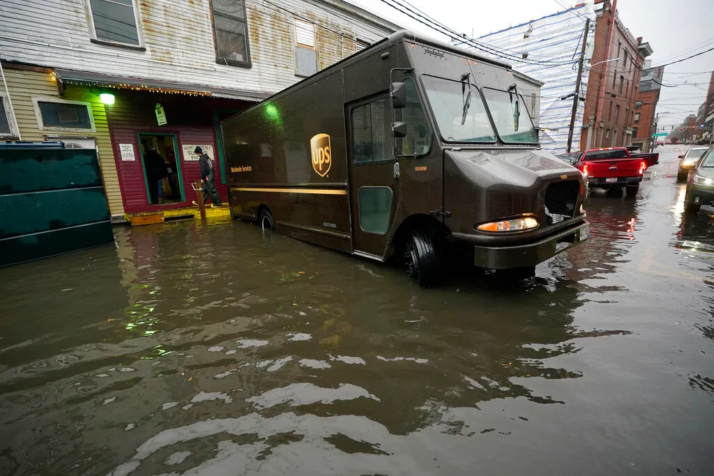
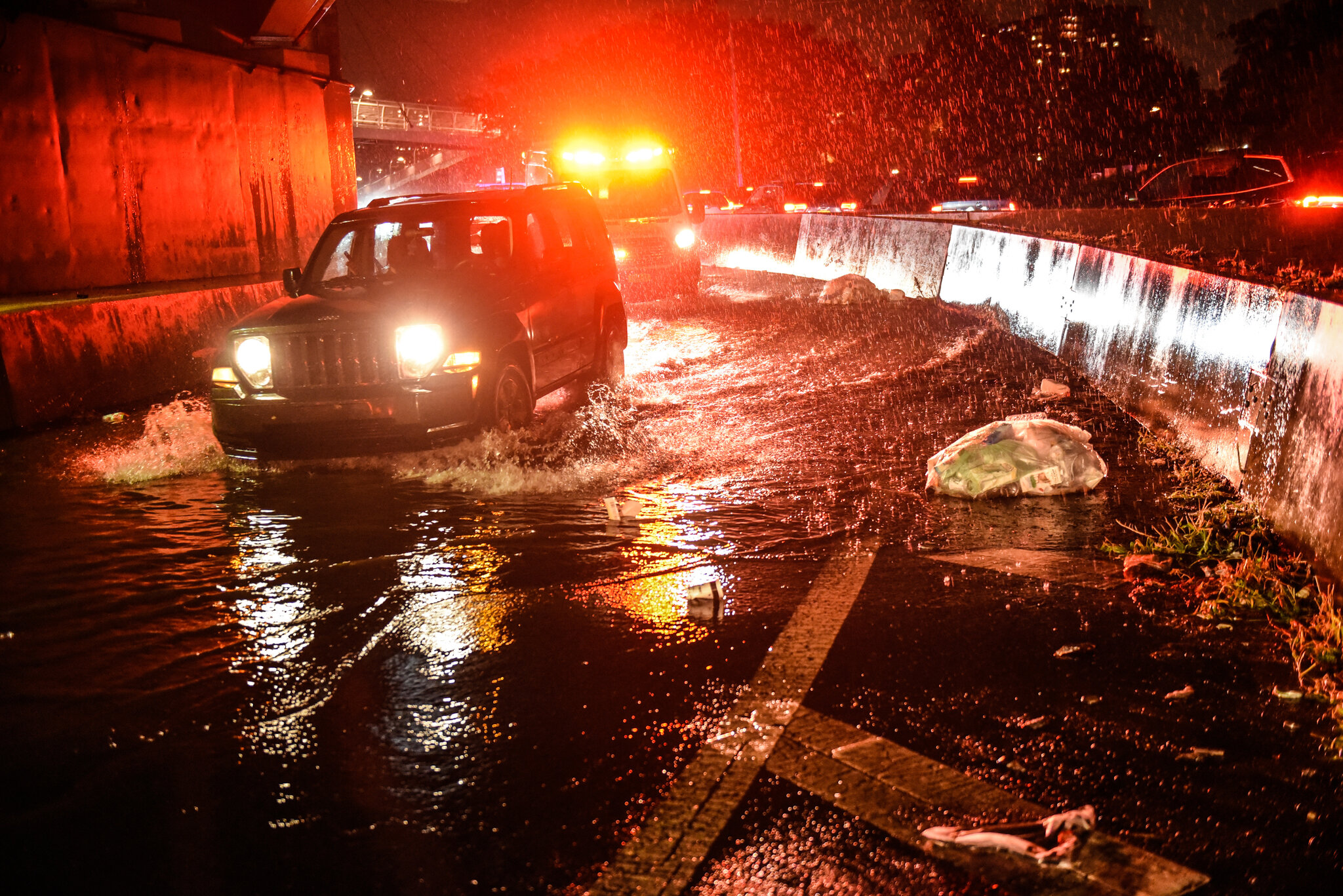
- Flooding: With rainfall totals approaching an inch or more, urban flooding is a real threat in low-lying areas and places with poor drainage. Watch out for waterlogged streets and overwhelmed subway stations.
- Strong Winds: Gusts exceeding 40 mph could knock down tree limbs, cause power outages, and make travel hazardous—especially on bridges and elevated highways. Pedestrians should brace for intense winds while walking through the city.
- Travel Disruptions: The morning and evening commutes will be messy. Reduced visibility, standing water, and slippery roads will create dangerous driving conditions. Flights out of local airports could face delays or cancellations due to the storm.
How to Stay Safe
With this storm packing a punch, taking precautions is a must! Here’s how you can stay safe:
- Stay Informed: Keep an eye on weather updates from local news and the National Weather Service for real-time alerts.
- Secure Loose Objects: If you have outdoor furniture, trash bins, or decorations, bring them inside or tie them down before strong winds send them flying.
- Prepare for Power Outages: Have flashlights, batteries, and chargers ready in case strong winds knock out electricity in parts of the city.
- Avoid Flooded Areas: Never attempt to walk or drive through flooded streets. It only takes a few inches of water to sweep away a vehicle.
- Plan for Delays: If you’re commuting, leave extra time for potential train delays and gridlocked traffic.
What’s Next?
While the worst of the storm is expected to pass by late Wednesday night, the impact could linger. Downed trees, scattered power outages, and street flooding might take time to clear up. By Thursday, the weather will stabilize with cooler temperatures and calmer conditions.
New Yorkers are no strangers to extreme weather, but this storm demands caution. Whether you’re commuting, working, or just trying to get through the day, stay prepared, stay safe, and don’t take unnecessary risks.

