
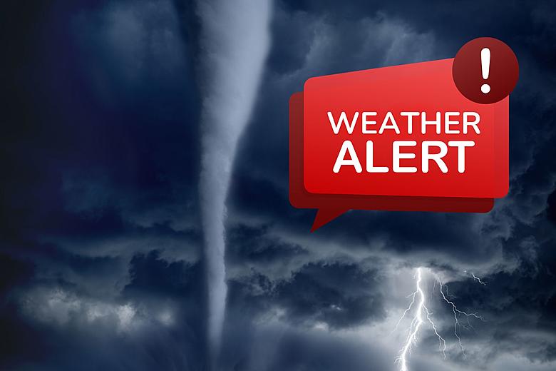
Tampa, get ready for a weather rollercoaster! A powerful cold front is charging into the Bay Area, bringing the threat of tornadoes, destructive winds, and even hail. The National Weather Service has issued warnings for severe thunderstorms, and forecasters say conditions could change rapidly, leaving little time to react.
If you’re planning to be out and about today, think twice—this storm could turn deadly fast. Officials are urging residents to stay indoors, secure outdoor furniture, and be prepared for power outages. With the potential for tornadoes spinning up with little warning, you need a safety plan in place now!
Tampa Braces for Severe Weather – Here’s What You Need to Know
Meteorologists warn that a strong cold front will sweep through the Tampa Bay area on Wednesday, bringing multiple severe weather threats to millions of residents.
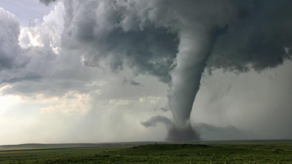
- Tornadoes Possible – Conditions are ripe for tornado development, and these storms could form quickly.
- Damaging Winds Over 60 MPH – Wind gusts strong enough to snap trees, damage roofs, and knock out power are expected.
- Hail Threat – Some areas could see hail large enough to damage cars and property.
- Intense Lightning and Thunderstorms – Dangerous cloud-to-ground lightning will accompany the storms.
- Hazardous Travel Conditions – Blinding rain, strong winds, and flooding will make roads extremely dangerous.
The storms are expected to move through the region rapidly, meaning weather conditions could change within minutes. If you’re caught outside when warnings go into effect, take cover immediately!
How Bad Will It Get? Here’s the Forecast for Tampa
- Tornado Threat Increases
The storm system has all the ingredients needed for tornadoes to develop. While not guaranteed, Tampa is under a marginal risk, meaning tornadoes could form suddenly. - Damaging Wind Gusts Expected
Winds over 60 mph are expected in some areas—strong enough to knock over trees, rip off shingles, and take down power lines. - Hail Possibility
Some areas could see hail up to the size of quarters, which is strong enough to dent cars and cause property damage. - Flooding Concerns
With heavy rainfall expected in short bursts, urban flooding in low-lying areas is a serious risk. If you live in a flood-prone zone, prepare now.
Why This Storm Could Be More Dangerous Than You Think
- Storms Will Hit FAST – Unlike hurricanes, these severe storms will develop rapidly, leaving little time to prepare.
- Tornadoes Could Form Unexpectedly – Even if Tampa doesn’t experience a direct hit, nearby areas could see tornadoes develop quickly.
- Winds Strong Enough to Cause Damage – With hurricane-force gusts possible, power outages are almost certain in some areas.
- Hail Could Add to Property Damage – If hail reaches quarter-size or larger, expect damage to cars, rooftops, and windows.
How to Stay Safe During Tampa’s Severe Storms
- Secure Loose Items – Patio furniture, trash cans, and outdoor decorations could become dangerous projectiles in high winds.
- Have a Tornado Plan – If a tornado warning is issued, seek shelter immediately in an interior room with no windows.
- Stay Off the Roads if Possible – Heavy rain and strong winds will make travel dangerous, so avoid unnecessary driving.
- Prepare for Power Outages – Charge your devices, have flashlights ready, and stock up on batteries.
- Monitor Weather Alerts – Stay updated on official warnings, as this storm could intensify quickly.
Final Thoughts: Tampa Needs to Take This Storm Seriously!
This isn’t just another rainy day in Florida—this storm has the potential to bring destructive winds, tornadoes, and damaging hail. Forecasters are warning that things could get dangerous very quickly.
If you haven’t taken precautions yet, now is the time. Secure your home, stay indoors if possible, and be ready for power outages and sudden tornado warnings. The next 24 hours could be a rough ride for Tampa—don’t take this lightly

