NEW YORK, NY – If you’ve been enjoying the mild start to March, don’t get too comfortable—Mother Nature has other plans. A strong storm is rolling in, bringing heavy rain, gusty winds, and even a little snow before the week is over.
Over the next 48 hours, expect flooding in low-lying areas, strong winds that could knock out power, and a tricky Friday morning commute. Here’s what’s coming and how to be prepared.
Flood Watch: Heavy Rain Could Cause Street Flooding
A Flood Watch is in effect Thursday afternoon through early Friday morning, and New York’s usual flood-prone spots could see issues.
- How much rain? Expect 1 to 2 inches, with some areas possibly seeing more.
- Where? Flooding is most likely in low-lying areas, subways, and poorly drained streets, especially in Brooklyn, Queens, and parts of the Bronx.
- When? The heaviest rain hits Thursday night into early Friday.
How to Prepare:
- If you’re driving, avoid flooded streets! Even a few inches of water can stall your car or worse.
- Check your basement if you live in a flood-prone area—sump pumps should be ready.
- Expect transit delays—heavy rain could slow down subways and buses.
Wind Advisory: 50 MPH Gusts Could Bring Down Trees
Once the rain starts to clear, the winds will take over. A Wind Advisory is in effect Thursday night through Friday evening.
- Winds: 20-30 mph sustained, with gusts up to 50 mph.
- What could happen?
- Tree branches and power lines could come down, leading to scattered power outages.
- Outdoor furniture, trash cans, and decorations could go flying.
- Travel could be extra tough—especially on bridges or along the waterfront.
How to Prepare:
- Charge your phone & devices now in case of a power outage.
- Secure outdoor items—no one wants to chase their trash can down the block.
- If you’re walking or biking, be careful! Wind gusts near tall buildings can be intense.
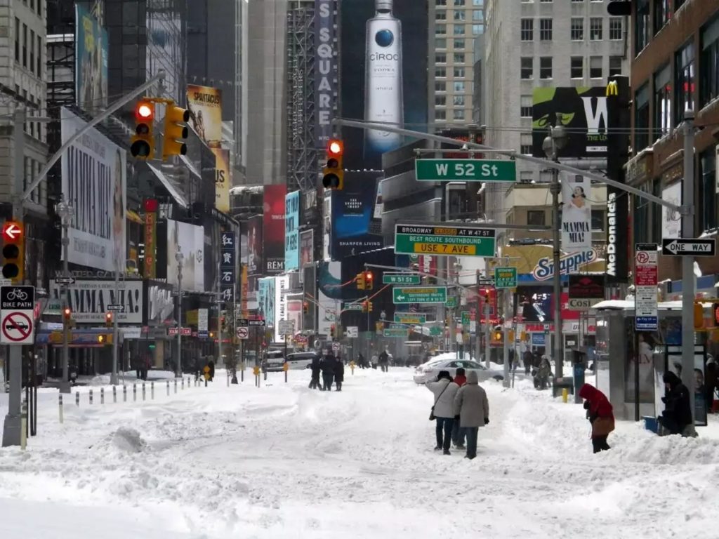
Surprise! A Chance of Snow Thursday Night
After the rain moves out, cold air rushes in—and we could see some snowflakes before Friday morning.
- Where? Light snow is possible in northern NJ, the Hudson Valley, and higher elevations upstate.
- Will it stick? Probably not much—less than an inch in most places—but any freezing could make roads slick.
- Could this affect the Friday commute? If temperatures drop fast, expect some icy patches on roads and sidewalks.
How to Prepare:
- Give yourself extra time Friday morning. Even a little ice can cause accidents.
- Watch out for black ice on sidewalks and bridges.
What’s Next?
By Friday evening, the worst of the storm will be over. But cold, blustery weather will stick around through the weekend, with highs only in the low 40s and a chilly breeze making it feel even colder.
New York is in for a wild weather rollercoaster—flooding rain, strong winds, and even some snowflakes all in the span of two days.


