
Winter has made its return to Colorado, and this storm is no small matter. Starting Thursday, a snowstorm will begin sweeping through the state, bringing a mix of snow, icy conditions, and wind that will likely cause headaches for travelers, commuters, and outdoor enthusiasts. Whether you’re heading into the mountains for some fresh powder or just trying to get to work in Denver, this is one you’ll want to prepare for. Here’s everything you need to know to stay safe and avoid the worst of it.
What to Expect
The storm will kick off Thursday morning in the mountain regions, where the snow will start falling and gradually work its way eastward. By midday, snow will reach Denver, with heavier accumulations expected as the day goes on. Mountain areas like Vail, Aspen, and Breckenridge could see anywhere between 6-12 inches of snow, which will make roads tricky to navigate and ski slopes prime for hitting.
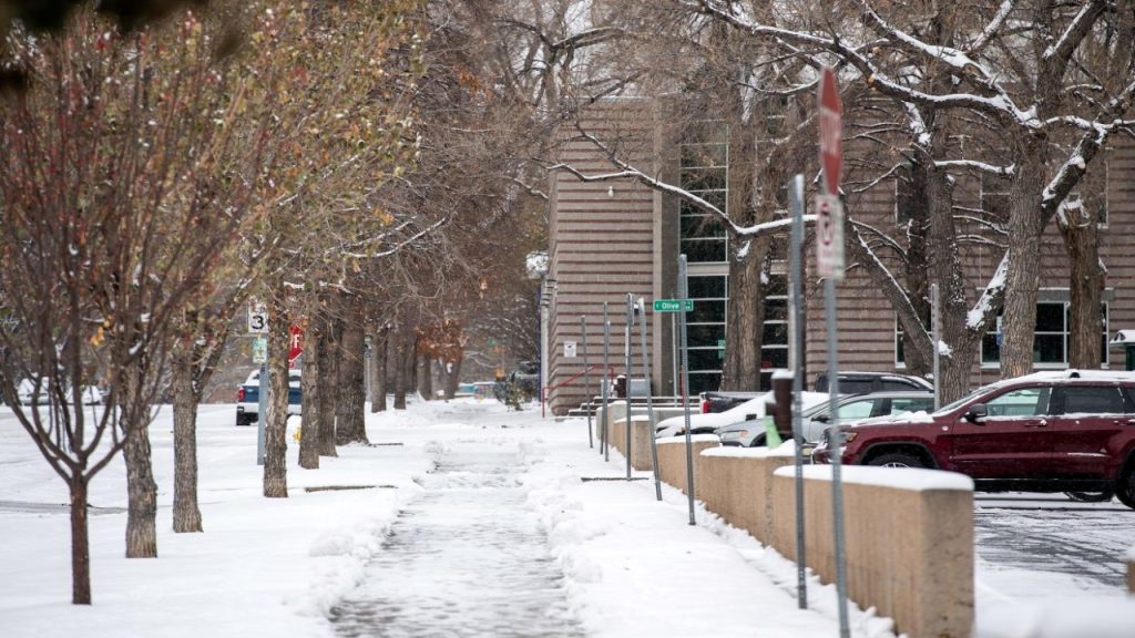
But don’t think the plains are getting a pass — Colorado Springs, Pueblo, and Limon will also see snow starting in the afternoon, though they won’t get as much accumulation. Still, the snow could still cause slick roads, poor visibility, and some delays in travel. The Denver metro area can expect anywhere from 1-4 inches of snow, and while that might not sound like much, it could still cause a lot of disruption, especially as the storm moves through.
When Will the Snow Arrive?
Snow will start around midday Thursday, with conditions deteriorating by the afternoon. It will be a gradual process, but by Thursday evening, snow will be coming down hard in some areas. The worst of the storm should last through Thursday night and into early Friday morning, though lighter snow may continue through the day. It’s definitely not a storm you want to underestimate, especially if you’re planning to be out on the roads when the snow begins to fall.
By the time it’s all said and done, the snow should taper off Friday morning, but the lingering wind gusts and cold temperatures will keep conditions less than ideal. If you have early morning plans Friday, expect slick roads and some disruptions in travel.
What’s the Risk?
-
Snow and Slippery Roads: The mountains will get the brunt of the snow, and 6-12 inches could make for hazardous travel conditions. Roads in the high country will likely be slick, and if you’re heading out to the slopes, don’t forget your chains or snow tires. Even the plains could get a few inches, making for slippery conditions on highways, especially when it gets dark.
-
Wind and Low Visibility: Wind gusts of up to 40 mph will make driving difficult and could create whiteout conditions. Visibility will be poor, and the snow could start blowing around, making it hard to see the road in front of you. This is especially dangerous for anyone planning to drive at higher elevations, where the winds will be stronger and the snow will fall harder.
-
Icy Roads: As temperatures drop, snow will likely turn into ice, especially overnight into Friday morning. This could make for even more dangerous driving conditions, so if you have to hit the road Friday morning, give yourself plenty of extra time to get to your destination safely.
-
Power Outages: While power outages might not affect the metro areas, they’re always a possibility in rural or mountainous regions, where heavy snow and wind can bring down tree branches and power lines. It’s a good idea to keep a few flashlights and batteries on hand, just in case.
How to Prepare
-
Get Your Car Ready: Make sure your vehicle is equipped for winter driving. If you’re going to be heading to the mountains, snow tires or chains are a must. Also, pack an emergency kit with essentials like blankets, water, snacks, and a portable phone charger, just in case you get stuck.
-
Limit Travel If You Can: If it’s not essential to go out during the worst of the storm, stay home. The roads are going to be tricky, and it’s better to be safe than sorry. But if you do need to drive, make sure to leave plenty of time, slow down, and stay alert.
-
Check Weather Updates: Conditions will change rapidly, so stay informed by checking weather forecasts and road conditions regularly. The storm could intensify or shift, and you’ll want to know if anything is changing so you can adjust your plans accordingly.
-
Prepare for Power Outages: Make sure your home is stocked with flashlights, batteries, and extra blankets. If you live in a mountainous or rural area, power outages can be more common, so it’s good to have a backup plan in case the lights go out.
-
Plan for Your Pets: If you have pets, make sure they’re safe and warm inside. The cold and snow can be hard on them too, so keep them comfortable during the storm.

