
Hey, Medford—hope you haven’t packed away your rain gear just yet! After a little break, rain is making a comeback on Wednesday, and it looks like cooler temperatures will be sticking around for a while. If you were hoping for a stretch of warm spring weather, well… Mother Nature has other plans.
Here’s what’s coming, how it’ll affect you, and what you can do to stay comfortable.
What’s Headed Our Way?
Wednesday:
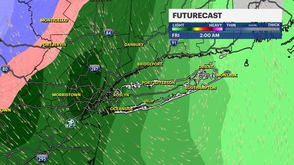
- Rain moves in early and hangs around most of the day. Expect a mix of light to moderate showers, with the chance for heavier bursts at times.
- It’ll feel chilly! Highs will only reach the upper 50s, and with a bit of a breeze, it might feel even colder.
- Morning lows in the mid-40s—if you’re heading out early, bundle up!
Thursday & Friday:
- The rain tapers off, but clouds will stick around, keeping things gloomy and cool.
- Highs will still struggle to reach the low 60s—so no big warm-up just yet.
- A few stray showers are possible, but nothing too heavy.
Weekend Outlook:
- A mix of sun and clouds on Saturday, but temperatures stay on the cooler side.
- More rain could return by Sunday—so if you’re making outdoor plans, keep an eye on the forecast!
How Will This Affect You?
Wet Roads = Slower Commutes
- Wednesday’s rain could mean slick roads in the morning, so plan for a little extra drive time.
- Windshield wipers on, headlights on, and take it slow!
Keep the Jacket Handy!
- Mornings in the mid-40s will feel pretty brisk, and with highs only in the 50s and low 60s, it’s not exactly T-shirt weather.
Outdoor Plans? Maybe Not on Wednesday.
- If you had something planned outdoors midweek, you might want a backup plan indoors.
- Saturday looks drier, but with rain possibly returning Sunday, weekend plans may need some flexibility.

