
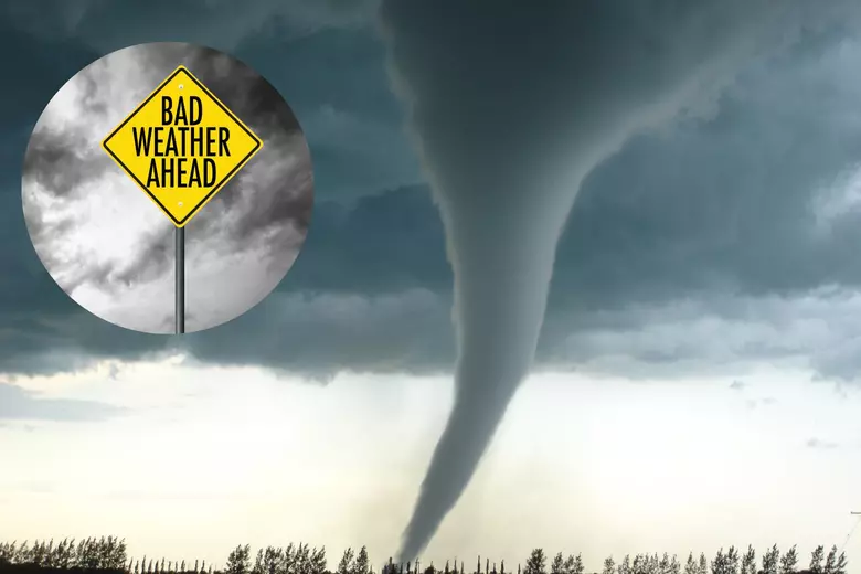
New Orleans, it’s time to brace for impact! Just as the city gears up for the peak of Mardi Gras celebrations, an intense storm system is on its way, bringing tornado threats, damaging winds, and flash flooding that could put a serious damper on the festivities.
If you were planning to hit the streets for parades, prepare for possible disruptions—city officials are already scrambling to adjust schedules, some events are canceled, and conditions could become dangerous fast. The National Weather Service has issued urgent alerts, warning of life-threatening weather conditions that could lead to power outages, road closures, and even tornado touchdowns.
When Will the Storm Arrive and How Bad Will It Be?
The storm system is expected to slam into New Orleans on Tuesday, March 5, lasting through the evening with its most severe impacts hitting mid-day.
Here’s what to expect:
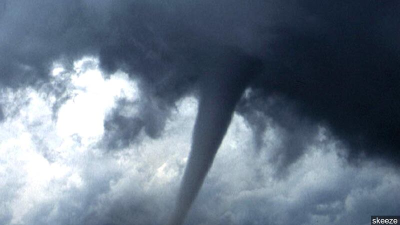
- Tornadoes – Conditions are perfect for tornado formation, meaning dangerous, fast-moving storms could touch down with little warning. If a tornado warning is issued, take shelter immediately!
- Winds Up to 60 MPH – These violent gusts could knock down trees, power lines, and even damage buildings. High-profile vehicles will struggle, and loose objects could turn into dangerous projectiles.
- Flash Flooding – New Orleans is no stranger to flooding, but with intense rain falling in a short period, streets could quickly become impassable. Drivers should avoid flood-prone areas and never attempt to drive through standing water
Mardi Gras Plans Turn Upside Down
With severe weather on the way, Mardi Gras celebrations are already being impacted.
- Several parades in Jefferson Parish, including the Krewe of Argus and the Krewe of Elks Jeffersonians, have been completely canceled due to the high winds and flood risks.
- Major parades in New Orleans, such as Rex and Zulu, have been forced to start earlier and alter their routes to avoid the worst of the storm.
- City officials are warning festival-goers to have a backup plan, avoid standing near tall structures, and stay updated on real-time weather alerts.
Temperatures Are About to Drop, Too!
Along with the severe weather, New Orleans will see a noticeable drop in temperatures:
- Tuesday, March 5: A warm and stormy day with highs around 72°F (22°C), but conditions quickly deteriorate as the storm moves in.
- Wednesday, March 6: The storm clears, but temperatures drop sharply to highs of 58°F (14°C), with lows dipping into the 40s.
- Thursday, March 7: Cool and breezy with highs in the mid-50s—a drastic change from the warm and humid conditions earlier in the week.
How to Stay Safe in This Storm
This isn’t just another rainy day—this storm has the potential to be extremely dangerous, and everyone in New Orleans needs to take it seriously. Here’s how you can protect yourself:
- Stay informed – Check the latest forecasts and have a way to receive emergency alerts, especially if tornado warnings are issued.
- Know where to take cover – If a tornado warning is issued, head to an interior room on the lowest floor of a sturdy building. Avoid windows!
- Prepare for power outages – Charge phones, flashlights, and portable chargers in case of extended blackouts.
- Avoid flooded areas – If roads become impassable, do not attempt to drive through standing water—just a few inches can be deadly.
- Secure loose objects – Bring in patio furniture, trash bins, and anything else that could become a dangerous projectile in high winds.
Final Thoughts
New Orleans is known for its ability to celebrate in any weather, but this storm is no joke. With tornadoes, flash flooding, and destructive winds on the table, this could be one of the most disruptive storms of the season.
If you’re planning to take part in Mardi Gras festivities, stay weather-aware, have a backup plan, and don’t take unnecessary risks. The party will go on, but staying safe should be everyone’s top priority. Stay alert, stay informed, and take this storm seriously—because it’s about to get rough in the Big Easy

