
San Francisco is in for a wild weather change as a powerful storm system moves toward the Bay Area. After a stretch of unseasonably warm temperatures, a sudden shift is bringing thunderstorms, heavy rain, and even the possibility of small hail.
Weather experts are keeping a close eye on this system, which is expected to bring dramatic changes starting Thursday morning. The storm will drop freezing levels to as low as 2,500 to 3,500 feet, meaning some of the Bay Area’s higher peaks, like Mount Hamilton and Mount Isabel, could see a dusting of snow. But for those in the city and surrounding areas, the bigger concern is the likelihood of thunderstorms developing, especially in the South Bay and Santa Cruz regions.
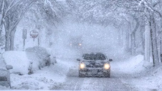
These storms could produce heavy downpours and even small hail, creating hazardous driving conditions. If you have plans to be on the road, be extra cautious and watch for sudden changes in visibility. The National Weather Service warns that conditions could shift quickly, catching people off guard.
San Francisco itself has a lower risk of thunderstorms compared to other parts of the Bay Area, but that doesn’t mean it’s in the clear. If the storm system sticks around longer than expected, the city could still see some unexpected weather action.
By Thursday night, cold air will continue to settle in, and areas north of the Bay Area, including Ukiah, may even experience freezing temperatures. However, San Francisco will likely remain a bit warmer, with overnight temperatures staying above 40 degrees due to a shallow marine layer moving in.
This storm serves as a reminder of how quickly Bay Area weather can change. Residents are advised to stay updated on the latest forecasts, secure any outdoor furniture that could be affected by strong winds, and drive carefully in wet conditions.
Stay safe, San Francisco, and be prepared for a stormy end to the week!

