
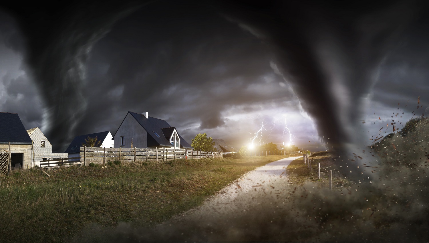
Washington, D.C., brace yourself for a severe weather outbreak that could turn dangerous fast! A powerful storm system is set to hit the nation’s capital, bringing the risk of tornadoes, massive hail, and winds strong enough to knock out power and cause widespread damage. If you’re thinking of heading out, think twice—this storm could create life-threatening conditions within minutes! Meteorologists are warning residents to stay indoors, secure their homes, and have an emergency plan in place. Here’s everything you need to know before the storm arrives.
Washington, D.C. Under Severe Weather Threat – What’s Coming?
The National Weather Service (NWS) has issued a Severe Weather Alert for Washington, D.C., warning that a fast-moving storm system could bring damaging winds, hail, and even tornadoes. The worst of the storm is expected to hit on Wednesday, March 5, 2025, with conditions worsening throughout the evening.
- Winds over 58 mph could knock down trees, damage buildings, and cause widespread power outages.
- Hailstones larger than an inch in diameter could damage cars, windows, and rooftops.
- Tornadoes are possible, especially in areas with high wind shear, meaning some neighborhoods could see localized devastation.
- Heavy downpours could cause flash flooding, especially in low-lying areas and along major highways.
- Officials are urging residents to prepare now before conditions deteriorate. If a tornado warning is issued, take cover immediately in the lowest level of your home!
How Cold Will It Get? Major Temperature Drop Ahead
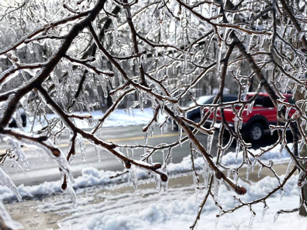
The storm isn’t just bringing violent weather—it’s also delivering a major temperature plunge.
- Wednesday: High of 59°F, but temperatures will rapidly drop after the storm moves through.
- Overnight Low: Expect a chilly 27°F, making conditions feel even more brutal after the rain and storms.
With strong winds making it feel even colder, residents should dress in layers and be prepared for a winter-like chill once the storm passes.
Biggest Threats: What You Need to Watch Out For
- Dangerous Roads – Rain will create slick and hazardous conditions during rush hour. Avoid unnecessary travel.
- Damaging Winds – Wind gusts over 58 mph could knock out power and send debris flying.
- Flash Flooding – Low-lying roads and underpasses could flood quickly, making travel extremely risky.
- Tornado Potential – If you hear tornado sirens, take cover immediately! Basements or interior rooms with no windows are the safest places to be.
How to Stay Safe During This Severe Weather Event
- Have a Safety Plan – Know where to take cover if a tornado warning is issued. The lowest level of your home is best.
- Charge Your Devices – Power outages are likely, so make sure your phone, flashlights, and backup batteries are fully charged.
- Stay Off the Roads – If the storm worsens, avoid driving. Flooded roads and falling trees could make travel deadly.
- Secure Loose Objects – Outdoor furniture, trash cans, and decorations could become dangerous projectiles in high winds.
- Stay Informed – Keep a close eye on weather alerts, emergency warnings, and official forecasts. Conditions could change in an instant!
Final Thoughts: A Dangerous Storm Is Approaching – Take It Seriously!
Washington, D.C. is no stranger to storms, but this one has the potential to bring tornadoes, damaging hail, and destructive winds. Residents should prepare now, stay indoors when the storm arrives, and be ready for rapid changes in weather conditions.
This is NOT just another rainstorm! Tornadoes, power outages, and major travel disruptions are all possible. Stay informed, take precautions, and most importantly—stay safe

