
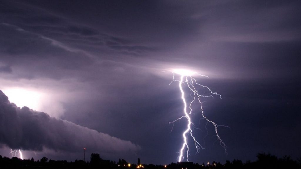
St. Louis residents, brace yourselves for a wild weather ride! A powerful storm system is gearing up to slam the region, bringing heavy rain, damaging winds, and even the risk of hail and flooding. If you haven’t already prepped for severe weather, now is the time!
The latest forecasts suggest that strong thunderstorms will hit late Monday night into Tuesday, with the potential for torrential downpours and wind gusts reaching up to 37 mph. These conditions could lead to flash flooding, power outages, and dangerous travel conditions. The National Weather Service is urging residents to stay alert and take precautions as the situation develops.
What’s Happening Right Now?
Currently, St. Louis is enjoying a relatively calm Monday with partly cloudy skies and temperatures hovering around 57°F. But don’t be fooled—this is just the calm before the storm. By tonight, clouds will increase, and the first wave of rain and thunderstorms will start creeping into the area after 5 AM on Tuesday.
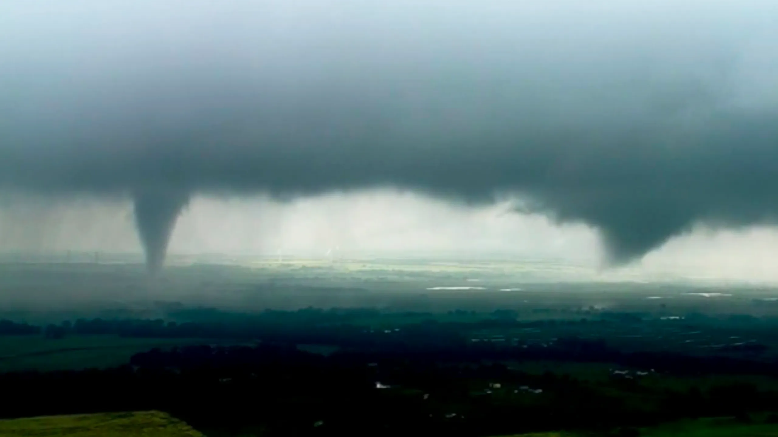
Tuesday is when things really get serious. Heavy storms will sweep through the region, bringing the potential for damaging winds, hail, and flooding. Temperatures will hover around 58°F, but the intense weather will make it feel much worse. By Tuesday night, strong thunderstorms will continue, and wind gusts could reach up to 26 mph.
What to Expect & When
- Monday Night: Clouds will thicken, and rain will begin in the early morning hours. Expect gusty winds up to 29 mph.
- Tuesday Morning & Afternoon: Heavy rain, strong storms, and possible flooding. Some areas could see intense downpours leading to dangerous road conditions.
- Tuesday Night: The storm won’t let up just yet. More rain and strong winds could cause power outages and tree damage.
- Wednesday: Things will start cooling down dramatically, with temperatures dropping into the 30s and even a chance for snowflakes mixing with rain in the afternoon
What You Need to Do NOW to Stay Safe
- Secure Loose Items: Strong winds can turn patio furniture, decorations, and trash cans into flying debris. Bring them inside or tie them down.
- Prepare for Power Outages: Charge your phones, keep flashlights and batteries handy, and have backup power sources ready if needed.
- Avoid Flooded Roads: Never try to drive through flooded streets—just a few inches of water can sweep away a car. Stay on higher ground whenever possible.
- Stay Informed: Keep up with weather alerts from trusted sources and have a way to receive emergency updates.
- Check on Neighbors & Family: Make sure elderly family members and neighbors are aware of the incoming storm and have what they need to stay safe.
What’s Next?
Once this storm moves through, temperatures will plunge into the 30s by Wednesday, bringing a slight chance of snow mixed with rain. The rest of the week looks chilly but quieter, with no major storms expected.
Final Warning
This is a serious weather event, and conditions can change rapidly. If you’re in St. Louis or surrounding areas, stay indoors during the worst of the storm, avoid unnecessary travel, and be prepared for possible power outages. Keep an eye on weather updates, and stay safe

