
Pittsburgh is in for a wild weather ride this Thursday as a powerful spring storm barrels into the region, bringing strong winds, heavy rain, and potential flooding. If you have travel plans, brace yourself—this storm could make for a messy and dangerous commute, with downed tree limbs, slick roads, and even power outages possible. The National Weather Service has already issued alerts, warning residents to prepare for hazardous conditions throughout the day.
Storm Details: What’s Headed for Pittsburgh?
This isn’t just a quick rain shower—this system has the potential to cause serious disruptions across the area. As the storm moves in, expect a mix of strong wind gusts, soaking rainfall, and sharply dropping temperatures that could impact everything from road conditions to air travel.
Powerful Winds: Gusts Up to 40+ MPH
One of the biggest concerns is the wind. Sustained winds will hover between 15-25 mph, but gusts could exceed 40 mph, strong enough to bring down branches, topple power lines, and send loose objects flying. If you have outdoor furniture or trash bins, secure them now.
- Risk of power outages due to downed trees and wires
- Difficult driving conditions for high-profile vehicles on bridges and highways
- Possible flight delays at Pittsburgh International Airport
Heavy Rain and Flooding Concerns
This storm will dump 1-2 inches of rain across the Pittsburgh area, creating a significant risk for localized flooding in low-lying neighborhoods and near rivers and streams.
- Urban flooding possible on highways, underpasses, and city streets
- Flash flooding in rural areas could impact back roads and small bridges
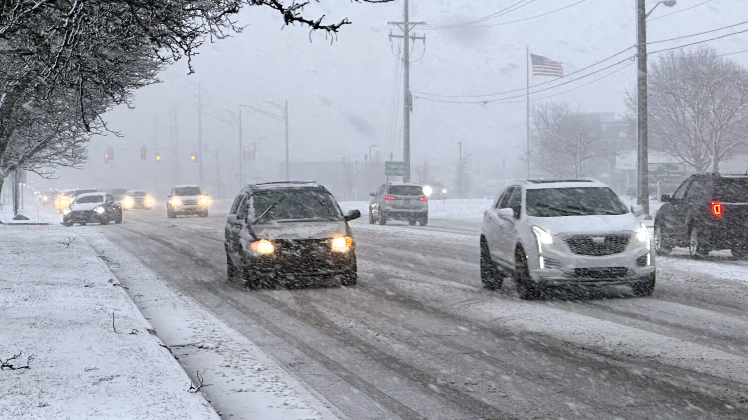
- Slow-moving traffic and hazardous conditions during the morning and evening commutes
Temperature Drop: Cold Air Moving In After the Storm
Once the rain clears out, temperatures will plummet, making for a chilly end to the week.
- Thursday: Rainy and windy, highs near 48°F (9°C), dropping to 32°F (0°C) overnight
- Friday: Partly cloudy and much colder, with a high of just 39°F (4°C)
- Weekend: Chilly but drier, highs in the 40s with overnight lows near freezing
When Will the Storm Hit?
Pittsburgh will see deteriorating conditions throughout Thursday, with the worst of the weather expected midday into the evening hours.
- Morning (6 AM – 11 AM): Light rain begins, winds start increasing
- Afternoon (12 PM – 6 PM): Heaviest rain and strongest winds, potential flooding
- Evening (7 PM – Midnight): Rain tapers off, but cold air moves in fast
The evening commute will be a mess, so plan ahead for longer travel times, slippery roads, and possible delays.
How to Stay Safe During the Storm
Stay Weather Aware: Keep your phone charged and enable emergency alerts for storm warnings.
Prepare for Power Outages: Charge devices, have flashlights ready, and stock up on extra batteries.
Drive with Caution: Heavy rain and strong winds can create dangerous road conditions. Leave extra following distance, avoid flooded roads, and slow down on highways and bridges.
Secure Outdoor Items: Trash cans, patio furniture, and decorations could become airborne in strong winds.
Check Your Travel Plans: If you’re flying out of Pittsburgh International Airport, check for possible delays.
Bottom Line: A Rough Day of Weather Ahead!
Pittsburgh will be dealing with a strong storm system on Thursday that could cause flooding, travel delays, and power outages. Stay alert, take precautions, and avoid unnecessary travel if possible. After the storm passes, a much colder and calmer weekend will follow. Stay safe, Pittsburgh!

