
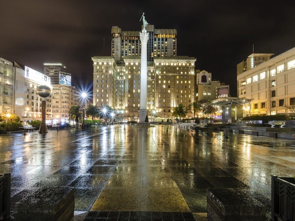
San Francisco—if you thought we were heading straight into sunny spring days, think again! After a nice stretch of dry weather, rain is making a comeback Wednesday night, and with it comes cooler temperatures, cloudy skies, and that signature Bay Area chill.
If you’re out late Wednesday or commuting Thursday morning, expect wet roads, misty conditions, and a definite need for a jacket. Here’s what’s coming and how to prepare!
What’s Coming?
Wednesday Night: Here Comes the Rain!
- Light to moderate rain moves in late Wednesday night, making for damp streets and slick sidewalks.
- Fog and mist could settle in along the coast and around the bridges—watch for low visibility while driving!
- Overnight lows drop to the low 50s, and with damp air and wind, it’s going to feel even chillier.
Thursday & Friday: Cool, Cloudy, and Breezy
- Rain wraps up early Thursday, but the sun won’t be making a big comeback just yet—expect cloudy skies and highs barely hitting the low 60s.
- Breezy conditions will add to the chill, especially along the waterfront—definitely a day for layers!
- A few stray showers could pop up, but nothing heavy. Just enough to keep things damp and gray.
Weekend Outlook: No Quick Warm-Up!
- Skies gradually clear up, but temperatures stay on the cooler side.
- Expect low 60s during the day and crisp mornings in the 50s.
How This Might Affect You
Morning Commutes Could Be Slippery & Slow
- Thursday morning drivers—be careful! Wet roads and patchy fog could make for a slower commute.
- Fog near bridges and the coastline could reduce visibility, so keep those headlights on and take it slow.
Time to Bring Back the Layers
- That extra-warm hoodie? The coat you thought you didn’t need? You’ll want them.
- Even if it warms up slightly in the afternoon, the breeze and damp air will keep it feeling cool.
Outdoor Plans? Might Want a Backup!
- The rain should be gone by Thursday morning, but the damp, gray skies are sticking around.
- If you were planning a hike or picnic, you might want to wait until the weekend.

