
Reno, Mother Nature isn’t done with winter just yet! Just as we were starting to enjoy the warmer days of spring, a late-season storm is heading our way, bringing a mix of rain, snow, and gusty winds from Sunday through Tuesday.
It won’t be a full-on blizzard, but it will be enough to make things messy—think slick roads, strong winds, and colder temperatures, especially overnight. If you have outdoor plans or are hitting the road early next week, here’s what you need to know to stay ahead of the storm.
Sunday: The Calm Before the Storm
Sunday will start off cloudy and cool, with temperatures hovering around 55°F (13°C). While the rain and snow won’t hit immediately, the wind will start picking up in the afternoon. If you have patio furniture, loose decorations, or anything lightweight outside, consider securing them before the wind does it for you.
Monday: Windy, Wet, and Cold—Morning Showers Expected
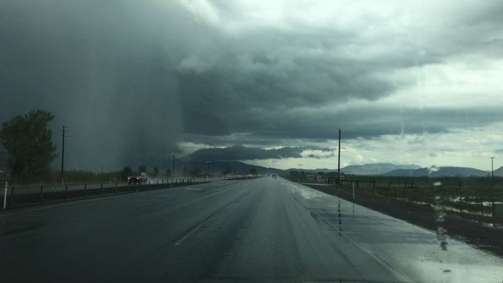
Monday is when things take a turn. The wind will crank up throughout the day, with gusts strong enough to rattle windows and make driving a bit tricky. We’ll also see on-and-off showers, mainly in the morning, so be ready for damp and chilly conditions.
Highs will struggle to reach 51°F (10°C), but thanks to the wind, it’ll feel even colder. By nighttime, temperatures drop to freezing (30°F/-1°C), which means icy roads could be an issue—so drive carefully!
What to watch for Monday:
Strong wind gusts (over 30 mph) – Be extra cautious on the road, especially if you’re driving a high-profile vehicle.
Morning showers – Not heavy rain, but just enough to make the roads slick.
Unpredictable conditions – A mix of clouds, wind, and rain means you’ll want to keep a jacket handy.
Tuesday: A Wintry Mix & Even Colder Temps
By Tuesday, the storm still hasn’t packed its bags. Expect cold, cloudy weather with highs struggling to hit 44°F (6°C). Rain will likely return in the afternoon, and if you’re in higher elevations, you might even see some snowflakes mixing in.
Overnight, temperatures will dip near freezing (32°F/0°C), meaning Tuesday night could bring some slick spots on the roads.
How to Prepare & Stay Safe
This isn’t a major winter storm, but it’s enough to cause some headaches. Here’s how to make sure you’re ready:
-
Secure Outdoor Items – If the wind picks up, you don’t want to go chasing down your trash cans or patio chairs.
-
Drive Cautiously – Wet roads and freezing temps could mean icy patches, especially in the mornings and evenings.
-
Layer Up – The wind will make it feel even colder, so grab an extra layer before heading out.
-
Protect Pets & Plants – If you have sensitive plants outside, bring them in or cover them up. And don’t forget about pets—make sure they have a warm spot to stay at night!
When Will the Sunshine Return?
The good news? This storm won’t last forever. By midweek, Reno will start drying out, and temperatures will slowly start climbing back up. It might not be full-on spring yet, but at least we’re headed in the right direction!

