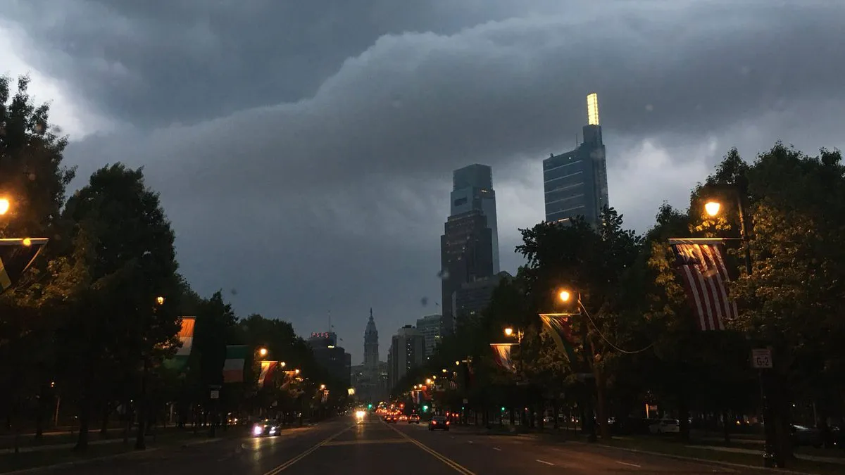
Philadelphia, get ready for a major weather shake-up. After days of mostly calm and chilly conditions, a strong storm system is moving in midweek, bringing torrential rain, gusty winds, and possibly even hail. If you have plans on Wednesday, be prepared for wet and potentially hazardous conditions.
Forecasters are warning that this system will pack a punch, with heavy downpours, winds gusting up to 40 mph, and the potential for localized flooding. Roads could turn slippery, and falling branches may cause power outages in some areas. With temperatures fluctuating dramatically, Philadelphia is in for an unpredictable and stormy ride.
What’s the Weather Like Right Now?
Right now, Philadelphia is calm but chilly, sitting at around 26°F (-4°C). The next couple of days will bring a gradual warm-up, but don’t get too comfortable—that extra warmth will help fuel the incoming storm, making it stronger.
When the Storm Will Hit & What to Expect
-
Monday, March 3: A cold but sunny day with highs near 40°F (5°C). By night, temperatures will dip to 27°F (-3°C).
-
Tuesday, March 4: A little warmer, with clouds rolling in by the afternoon. Highs will reach 53°F (12°C), and overnight temperatures will hold steady at 44°F (7°C).
-
Wednesday, March 5: The storm arrives! Expect heavy rain, strong thunderstorms, and winds gusting up to 40 mph. Some storms may bring small hail, and localized flooding is possible. Highs will be around 59°F (15°C), but temperatures will drop to 44°F (7°C) by the evening.
-
Thursday, March 6: The storm moves out, leaving behind breezy, cooler conditions. Highs will reach 52°F (11°C), but with the wind chill, it will feel colder. Overnight temps will dip to 30°F (-1°C).
-
Friday, March 7: A bright and sunny day, but still chilly, with highs around 49°F (9°C).
-
Saturday, March 8: Mostly cloudy but dry, with highs near 49°F (10°C).
-
Sunday, March 9: A mix of sun and clouds, with highs near 46°F (8°C).

How to Prepare & Stay Safe During the Storm
- Expect Dangerous Road Conditions – Rain will accumulate quickly, making highways and side streets slippery and hazardous. If you must drive, go slow, keep headlights on, and avoid flooded roads.
- Power Outages Possible – Strong wind gusts could take down power lines. Charge all your devices in advance, and have flashlights and backup batteries ready.
- Secure Loose Outdoor Items – Patio furniture, decorations, and trash bins could be blown away by strong winds. Tie them down or bring them inside before the storm hits.
- Prepare for Sudden Temperature Drops – If you’ve been enjoying the warmer weather, be ready for a quick chill. After the storm, temperatures will drop back down into the 30s and low 40s.
- Stay Updated With Weather Alerts – Turn on weather notifications, listen to local news, and be ready to act if conditions worsen. Severe storms can intensify quickly.
Looking Ahead—What Happens After the Storm?
Once this system moves out, Philadelphia will return to colder, breezy conditions for the rest of the week. The sun will return by Friday, but temperatures will stay in the upper 40s and low 50s.
While this storm won’t bring snow, another system may develop next week, bringing another round of wet weather. Stay tuned for updates.
Final Warning—Take This Storm Seriously!
This isn’t just another rainy day—Philadelphia is about to experience heavy downpours, strong winds, and potentially hazardous conditions. If you live in a flood-prone area, prepare now. If you’re commuting Wednesday, allow extra travel time and drive cautiously.


