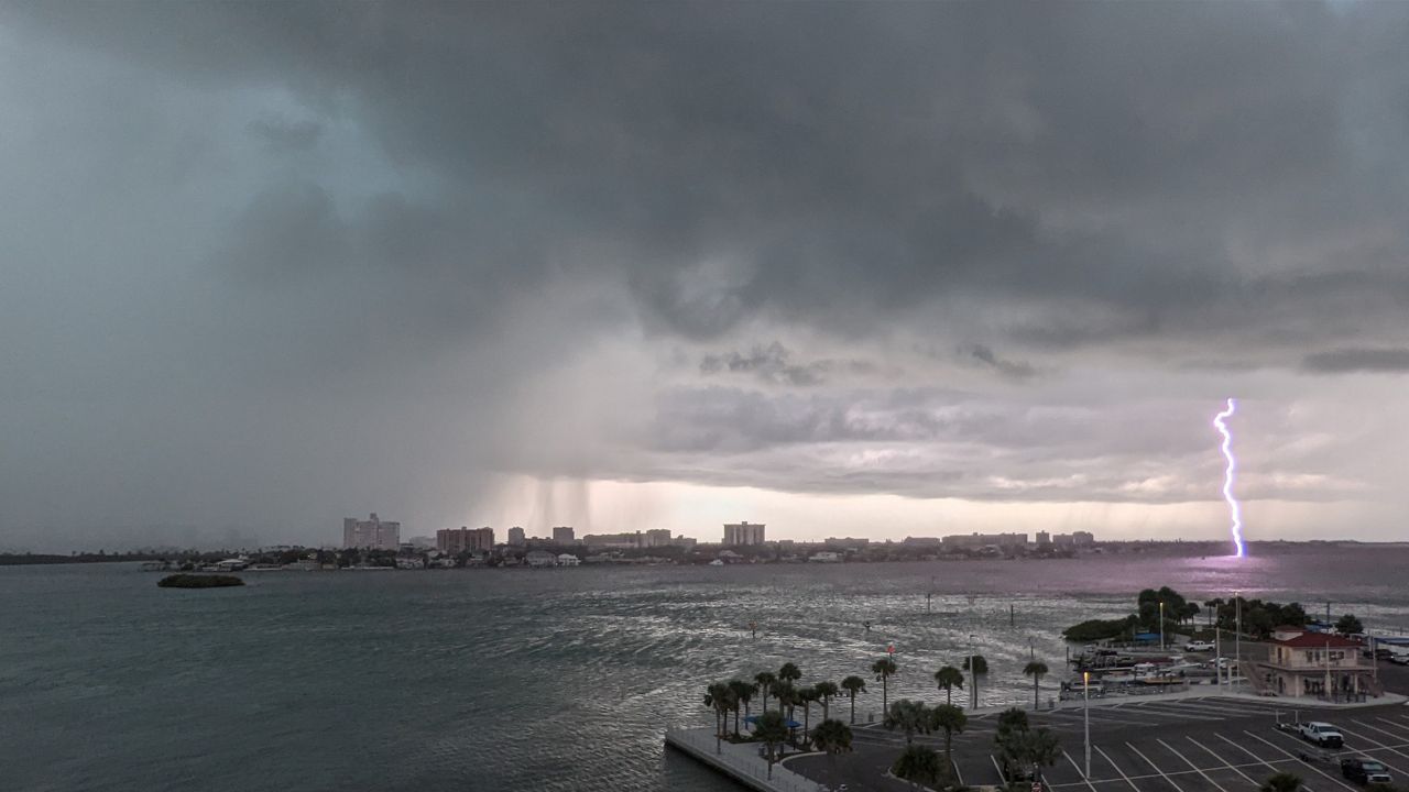
If you’ve been enjoying Orlando’s sunny skies and warm temperatures, don’t get too comfortable! This week is bringing a mix of gorgeous sunshine, scattered thunderstorms, gusty winds, and an unexpected dip in temperatures. Whether you’re heading to the theme parks, planning outdoor events, or just commuting to work, you’ll need to stay prepared for sudden shifts in weather conditions.
The week kicks off with warm, breezy conditions, but by midweek, thunderstorms could bring heavy rain and strong winds. And just when you think the worst is over, a cold front will push through, sending temperatures tumbling nearly 20 degrees lower by Thursday night. If you thought Florida was all about endless warmth, Mother Nature is about to remind you otherwise!
Why Is Orlando’s Weather So Unpredictable This Week?
Orlando’s location in central Florida makes it highly susceptible to quick-changing weather patterns. Right now, a warm, humid air mass from the Gulf of Mexico is dominating, keeping conditions pleasant. But a cold front moving down from the north will clash with this warm air midweek, triggering scattered thunderstorms, increased cloud cover, and a drop in temperatures.
This battle between warm and cool air masses means:
- A mostly sunny and warm start to the week.
- Midweek thunderstorms, which could bring strong winds and heavy rain.
- A sudden drop in temperatures by Thursday night, making for cooler mornings and evenings.
- A return to comfortable, sunny conditions heading into the weekend.
Day-by-Day Breakdown: When Will the Weather Change?
- Monday, March 3: A picture-perfect start to the week with partly sunny skies and a high of 76°F (24°C). Expect breezy conditions, but overall, it’s a great day for outdoor plans.
- Tuesday, March 4: The warmth sticks around, with a high of 80°F (27°C) and mostly sunny skies. Light winds will make for a comfortable day before changes begin to roll in.
- Wednesday, March 5: Thunderstorms could arrive in the afternoon, bringing heavy rain and gusty winds. High of 82°F (28°C), dropping to 60°F (15°C) overnight. Watch for possible weather-related travel delays.
- Thursday, March 6: A major shift! The cold front pushes in, clearing out the humidity but also dropping temperatures. Expect cooler, breezy conditions with a high of 79°F (26°C) and a low of 50°F (10°C)—a significant drop compared to the beginning of the week.
- Friday, March 7: Sunny and comfortable, with a high of 77°F (25°C). Cool mornings and low humidity make for a great day to be outdoors.
- Saturday, March 8: A mix of sun and possible afternoon showers. High of 80°F (27°C), low of 60°F (16°C). A slight chance of thunderstorms late in the day.

How to Stay Ahead of Orlando’s Rapid Weather Shifts
With conditions changing throughout the week, here’s how to stay prepared and avoid being caught off guard:
- Dress in layers. Mornings and evenings will be noticeably cooler, while afternoons will still feel warm.
- Keep an umbrella handy. Wednesday’s storms could arrive suddenly, leading to heavy downpours in the afternoon.
- Plan theme park visits wisely. Midweek storms could cause ride closures, so aim for Monday, Tuesday, or Friday for the best weather.
- Watch for strong winds. Secure outdoor furniture, patio umbrellas, and decorations to prevent damage.
- Stay updated on alerts. Sudden weather changes could lead to flight delays and slower traffic.
When Will Orlando See Consistent Warm Weather Again?
While this week’s temperature drop may feel unexpected, don’t worry—warmth will return quickly. After Thursday’s cooler, breezy conditions, temperatures will climb back into the 80s by the weekend, and by next week, Orlando should be back to its usual sunny, warm self.


