
Missouri, you might want to buckle up—a severe storm is making its way toward the state, and it’s looking like it will bring strong winds, hail the size of half-dollars, and thunderstorms that could last well into the afternoon. If you’re in central Missouri, particularly near Jefferson City, Columbia, or Lake of the Ozarks, this is the kind of storm you definitely want to be prepared for. It’s going to get intense.
What to Expect: A Real Storm on the Horizon
This isn’t just a regular rainy day. The weather’s about to throw some serious punches, so let’s break it down:
Wind Gusts of 60 MPH
First up: wind. This storm will bring some heavy gusts, reaching up to 60 mph. It’s going to make driving tricky, especially if you’re in a high-profile vehicle like a truck. Plus, with winds this strong, trees could come down, power lines could snap, and debris could fly around, causing all kinds of hazards. If you can avoid traveling, it’s a good idea to stay home where it’s safe. Also, keep an eye on your trees and outdoor furniture—they could take a beating from these winds.
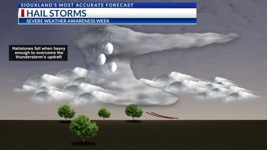
Hail the Size of Half-Dollars
Next, we’ve got the hail. Some areas could see hailstones the size of half-dollars, which can do some serious damage. Cars, roofs, and windows could all be affected, so it’s a good idea to park your car in the garage if possible, or under some kind of cover. The hail won’t last too long, but it will be intense while it’s happening.
Frequent Lightning and Thunder
The storm will also bring frequent lightning and thunder. Lightning can be dangerous, causing fires or power surges, so if you’re outside when it strikes, get inside quickly. Don’t risk it! Also, be mindful that thunderstorms can sometimes pop up unexpectedly and lead to dangerous conditions, especially on the roads.
Heavy Rain and Possible Flooding
Lastly, we’re looking at heavy rain. The storm will drop a lot of water in a short amount of time, and that means there’s a serious risk of flash flooding. If you live in an area that’s prone to flooding, or near a creek, river, or stream, you’ll want to keep a close eye on water levels. Even if you’re not in a flood-prone area, stay cautious—if you’re driving and see water starting to rise, don’t risk crossing it. Flash floods can happen very fast.
When Will This All Go Down?
Here’s a timeline of when to expect the worst of it:
-
After 3 AM Sunday: That’s when the storm will start rolling in. You might hear a bit of rain and see some light wind, but don’t be fooled—this storm will start to ramp up soon after.
-
From 6 AM to Noon: The storm will hit its peak during this time. Expect 60 mph wind gusts, hail, and intense lightning. The conditions will be dangerous, especially if you’re trying to travel. Stay off the roads if you can—it’s not worth the risk.
-
Sunday Afternoon: The storm should start to weaken, but conditions may still be unsettled. The worst will be over by this point, but there could still be some rain and winds lingering into the afternoon.
How to Stay Safe
This storm might sound intense, but there are plenty of ways to stay safe. Here’s how you can prepare and stay protected:
1. Keep an Eye on the Weather
This is important—weather conditions can change quickly, and you need to stay up-to-date. Set up weather alerts on your phone, and check your local news regularly. If you’re in a warning area, take it seriously. Don’t wait until the storm is already here—be proactive about staying informed.
2. Secure Your Home and Vehicles
Before the storm hits, do a quick check around your property. Tie down loose items like outdoor furniture, or move them into a garage or shed. If your car is outside, move it to a covered area to protect it from hail. Also, make sure windows and doors are securely closed to prevent rain from getting inside. A few minutes of prep now can save you a lot of trouble later.
3. Avoid Travel
Unless you absolutely have to, it’s best to stay inside when the storm hits. Driving in these conditions—especially with wind gusts, hail, and possible flooding—can be extremely dangerous. If you do have to go out, remember to drive slowly, keep your headlights on, and avoid any flooded roads. Turn around if you come across water on the road.
4. Prepare for Power Outages
With these winds, power outages are a real possibility. Now’s a good time to charge your phone and make sure you have flashlights, batteries, and any other emergency supplies you might need. If you have bottled water, non-perishable food, or medications, gather them in case you’re without power for a while. A little preparation now will help you feel more secure later.
5. Stay Indoors
If you’re inside, stay there as much as possible. Don’t try to brave the storm. Hail, high winds, and lightning are not things you want to be outside in. Plus, all the wet conditions can make for some slippery roads and sidewalks, increasing the chance of injury.
Don’t Wait—Prepare Now!
This storm is not one to take lightly. With 60 mph winds, half-dollar-sized hail, and the risk of flash flooding, it’s clear that Missouri will face some rough weather come Sunday morning. But by preparing now—securing your property, staying informed, and taking the right precautions—you can keep yourself and your loved ones safe.

