

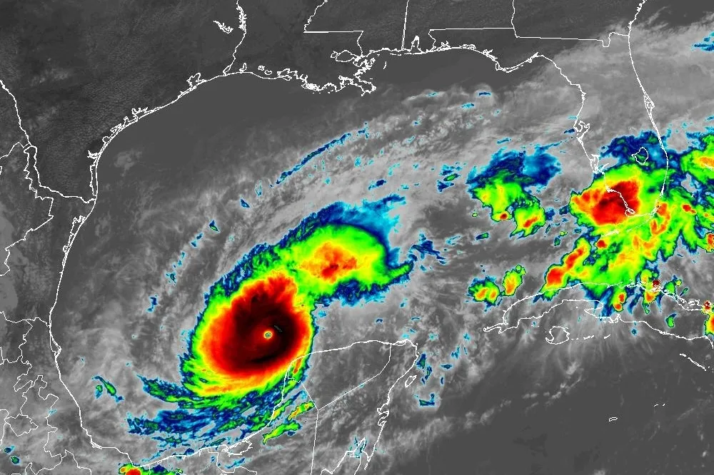
Tampa residents, enjoy the sunshine while you can—because big weather changes are on the horizon! The city is set to experience a dramatic shift, with strong thunderstorms, gusty winds, and a sudden drop in temperatures arriving by midweek. If you were planning on spending the next few days soaking up the Florida sunshine, you might want to rethink your plans!
While Monday and Tuesday will feel like classic Florida weather—warm, sunny, and inviting—things take a serious turn by Wednesday. Storms are brewing, and forecasters warn that windy conditions and intense thunderstorms will move in fast, making travel and outdoor activities potentially hazardous.
What’s the Weather Like Right Now?
Tampa is currently enjoying a quiet start to the week. As of this morning, temperatures are hovering around 53°F (12°C) under mostly clear skies. The sunshine will stick around for a little while, but don’t let it fool you—this is just the calm before the storm!
Temperatures will continue to rise through Tuesday, reaching a high of 82°F (28°C), but that warmth won’t last for long. By Wednesday, a powerful storm system will roll in, bringing heavy rain, gusty winds, and cooler air.
Breakdown of Tampa’s Weather This Week
- Monday, March 3: Mostly sunny and comfortable, with highs near 76°F (24°C) and a cool, crisp night at 56°F (13°C). Perfect beach weather!
- Tuesday, March 4: Another beautiful day, with sunshine and warmth, as highs reach 82°F (28°C). A mild night follows, with lows around 65°F (18°C).
- Wednesday, March 5: Things take a turn! The morning will start warm, but as humidity rises and winds pick up, storms will develop. Gusty thunderstorms could bring strong winds, lightning, and heavy downpours. Highs will be near 81°F (27°C), but overnight temperatures will drop to 60°F (16°C).
- Thursday, March 6: The storm clears out, but cooler air moves in. Expect sunshine, less humidity, and cooler temperatures, with highs around 72°F (22°C) and chilly nighttime lows of 49°F (9°C).
- Friday, March 7: The weather settles down just in time for the weekend, with plenty of sunshine and highs around 76°F (24°C).
What This Means for You & How to Stay Safe
- Prepare for Stormy Weather on Wednesday: If you have outdoor plans, be aware that severe weather could disrupt your day. Stay inside during thunderstorms, and be extra cautious if you’re driving.
- Secure Loose Items: With strong winds expected, patio furniture, decorations, and trash cans could be blown around. Bring them inside or tie them down.
- Expect Slippery Roads & Possible Flooding: Heavy rain can create dangerous driving conditions. Slow down and avoid roads prone to flooding.
- Temperature Drop Alert: After the storm passes, temperatures will cool down fast! If you’re used to the Florida warmth, Thursday and Friday’s chill might feel extra cold, so be ready for a wardrobe change.
Final Thoughts
Tampa is in for a weather rollercoaster this week! From beautiful beach days to stormy skies and cooler temps, it’s going to be a wild ride. Stay weather-aware, plan ahead, and get ready for a midweek storm system that could bring intense winds and rain.

