
Los Angeles, get ready for a wild weather shake-up! A strong storm system is barreling toward Southern California, bringing heavy rain, powerful thunderstorms, and a sudden drop in temperatures. If you’ve been enjoying the recent sunshine, don’t get caught off guard—this storm is packing enough punch to cause urban flooding, hazardous roads, and potential power outages. Experts warn that intense downpours, gusty winds, and lightning strikes could impact major cities, including Los Angeles, Long Beach, and Pasadena. If you thought winter was over, think again
Los Angeles Faces Major Rainstorm – What You Need to Know
The National Weather Service (NWS) has put Los Angeles on alert for a significant storm system arriving mid-week, expected to drench the city with up to 1.5 inches of rain. While that might not seem like much, in a region prone to flash flooding, mudslides, and slick roads, even moderate rainfall can cause chaos. Low-lying areas, freeways, and canyon roads are especially at risk, so commuters should prepare for longer travel times and possible detours.
This storm isn’t just about rain—it also comes with the potential for isolated thunderstorms, which could bring sudden downpours, strong wind gusts, and even small hail. Meteorologists are keeping a close eye on unstable atmospheric conditions that could trigger localized severe weather.
How Cold Will It Get? The Temperature Plunge Explained
If you’ve been enjoying LA’s mild temperatures in the 70s, get ready for a sharp drop. This storm will usher in a wave of cooler air, bringing daytime highs down to the low 60s and overnight lows dipping into the 40s.
- Tuesday: Mild and cloudy – High of 69°F, low of 50°F
- Wednesday: Rain begins – High of 66°F, low of 48°F
- Thursday: Storm peaks – High of 60°F, low of 45°F
- Friday: Scattered showers linger – High of 62°F, low of 47°F
- Saturday: Drying out and warming up – High of 70°F, low of 50°F
With chilly nights ahead, you might want to pull out that extra blanket—and don’t forget a rain jacket
Biggest Dangers: What This Storm Could Bring
- STRONG WINDS: Gusts up to 40 mph could knock down tree branches and power lines, leading to possible outages and dangerous road conditions.
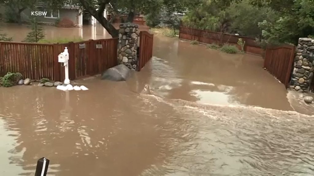
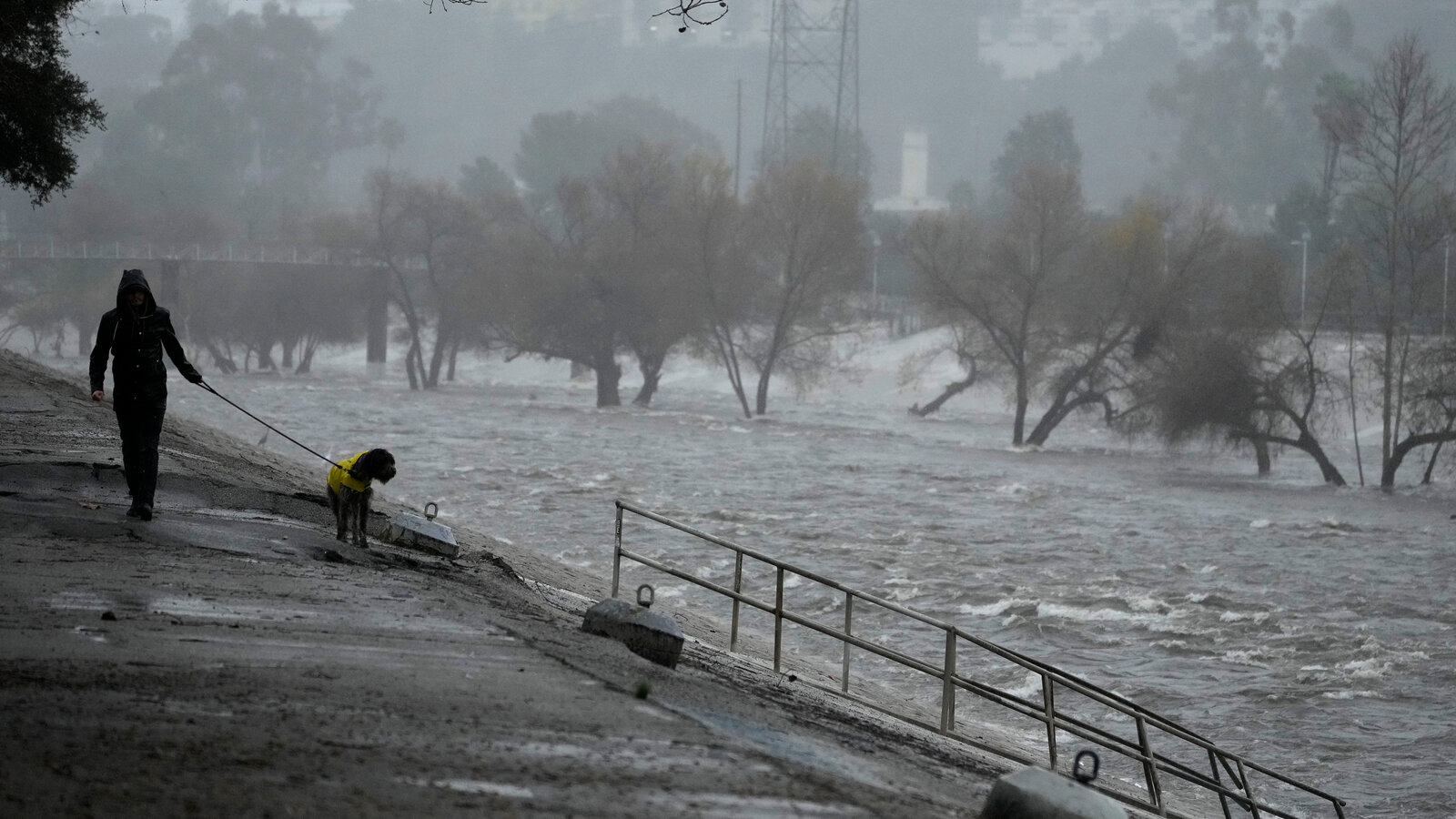
- FLOODING: LA’s urban landscape means that water pools fast on streets and freeways. Watch out for flood-prone intersections and underpasses.
- THUNDERSTORMS: Expect lightning, strong wind gusts, and sudden downpours. These storms could cause brief but intense flooding in some areas.
- DANGEROUS ROADS: Wet roads in LA are notoriously slick, especially after dry spells. Slow down and allow extra time for travel.
- MUDSLIDES: Areas near recent wildfires could see mud and rockslides as rain loosens dry soil.
How to Stay Safe in This Unpredictable Weather
- Prepare for Flooding – If you live in a low-lying area, consider sandbags and drainage solutions.
- Stay Off the Roads if Possible – Plan ahead for longer commutes and avoid driving through deep water.
- Charge Your Devices – With the threat of power outages, make sure your phone and flashlights are fully charged.
- Avoid Outdoor Activities – Strong winds and slick conditions make outdoor plans risky.
- Dress for the Cold – With temperatures dropping into the 40s at night, it’s time to layer up.
Final Thoughts: LA’s Weather Rollercoaster is Just Getting Started!
This storm is a wake-up call that winter isn’t over yet. With heavy rain, possible thunderstorms, and colder temperatures, it’s time to prepare for a wet and wild week. Don’t underestimate the power of LA storms—flash flooding, road closures, and power outages could turn this into a dangerous event.

