Hey Iowa and Wisconsin, get ready—tonight, the weather is going to throw us a serious curveball. A wild storm is heading our way, bringing everything from severe thunderstorms to snow, and it could make your Tuesday night and Wednesday morning a bit of a mess. With heavy rain, strong winds, hail, and even snow on the way, it’s important to stay informed and prepared. Here’s a breakdown of what to expect and how to stay safe.
What’s Coming?
This storm is no ordinary system—it’s a mix of two very different weather conditions, which makes it even more unpredictable. Here’s what we’re bracing for:
Severe Thunderstorms:
First up, we’ve got thunderstorms moving in, and they’re going to pack a punch. Expect damaging winds that could gust up to 60 MPH, and the possibility of large hail. This means you could see broken windows, damaged cars, and downed trees. If you can, make sure to bring your car inside a garage or under some shelter to keep it safe from the hail. The storms will also bring intense lightning, so if you’re outside when it hits, make sure to head indoors fast.
Snowfall:
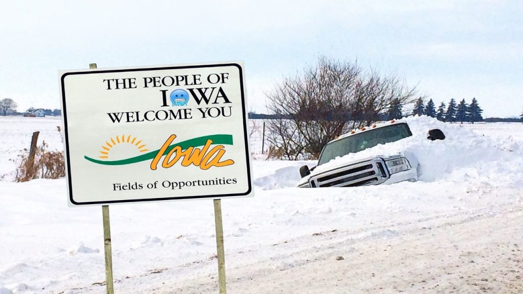
As if that wasn’t enough, snow is expected to roll in after the rain. While it may seem odd for a storm like this to bring snow, it’s a real possibility. If you’re in northern Iowa or northern Wisconsin, expect some light snow accumulation. Roads could get slippery, and visibility could drop, especially early Wednesday morning. This sudden shift in weather could make for a chaotic start to your day, so keep that in mind if you need to travel early.
Heavy Rain:
Before the snow hits, we’re looking at heavy rain that could lead to localized flooding. Some of the roads could get slick and even flooded, so if you live in an area prone to flooding, be extra cautious when driving. The rain might also make roads very slippery, so even if you’re not facing snow, it’s still best to stay careful.
When Will It Hit?
This storm is moving in tonight, but the worst of it will happen between midnight and 7 AM Wednesday. The thunderstorms will roll through first, and then, as the temperature drops, we’ll see a transition to snow. That means, if you’re planning on getting some sleep tonight, don’t be surprised if you wake up to a stormy, snowy morning.
What You Need to Do Now:
Here’s how you can prepare now, so you don’t get caught off guard:
1. Secure Outdoor Items
If you’ve got any outdoor furniture, trash cans, or bikes hanging around, now’s the time to move them indoors or tie them down. High winds and hail can send items flying, and you don’t want your things damaged or scattered all over the yard. If your car is parked outside, get it under cover or in a garage to keep it safe from hail.
2. Get Ready for Snow
Sounds strange, right? Snow in the middle of April, but it’s possible. If you’re in northern Iowa or northern Wisconsin, prepare for snowy, slippery roads. If you drive in these areas, double-check that your snow tires are still in good shape, and pack an emergency kit in case you get stuck.
3. Stay Indoors During the Storm
Once the storm hits, it’s best to stay inside. If you absolutely have to go out, take it slow and be extra careful. The combination of rain, hail, and snow could make things super dangerous on the road, so avoid driving if you can. If you’re stuck on the road and things are getting bad, it’s safer to pull over and wait for the storm to pass.
4. Keep Your Phone Charged and Stay Updated
Power outages are always a possibility with strong winds and heavy storms, so make sure your phone is charged and ready. Set up weather alerts on your phone to get real-time updates about the storm, including any warnings or changes to the forecast. Having a NOAA weather radio on hand is also a great idea in case you lose power and need up-to-the-minute info.
What Happens After the Storm?
By 7 AM Wednesday, the worst of the storm should be over, but there will still be lingering effects. Snow will continue to fall, especially in the northern parts of both states, and roads may stay slippery for several hours. Make sure to check local traffic reports before heading out, and be aware that icy patches could cause delays.
Also, don’t be surprised if you’re waking up to a power outage. High winds and heavy rain can bring down power lines, so keep an eye on your lights and make sure you’re prepared in case the power goes out for a while.
This storm is going to be a bit of a rollercoaster—severe thunderstorms, followed by snow, all in the span of a few hours. It’s a good reminder that Iowa and Wisconsin can never be fully prepared for what Mother Nature throws our way. But if you take the right steps to prepare your home, secure your car, and stay updated on weather alerts, you’ll be ready for whatever comes your way.


