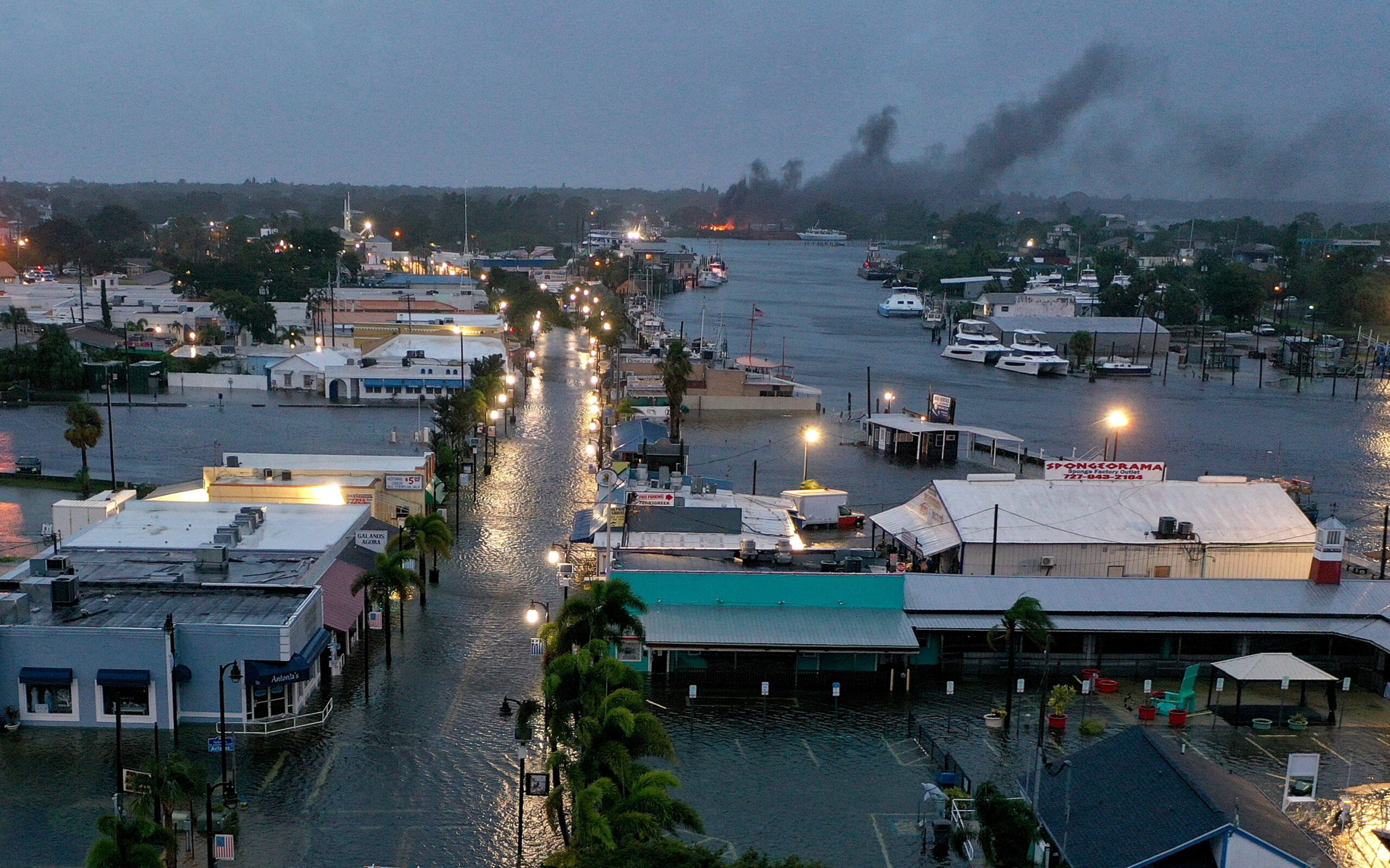
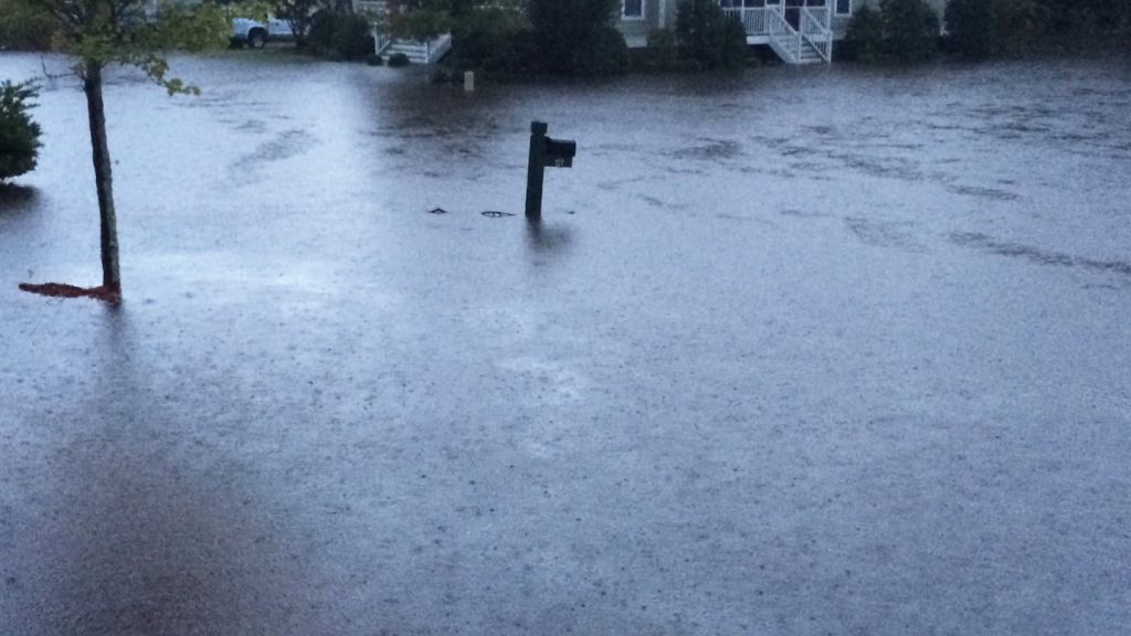
Charleston, get ready for an intense and dangerous weather event! A powerful storm system is heading straight for the Lowcountry, bringing tornado threats, flash flooding, and winds strong enough to cause serious damage. Officials are warning that conditions are ripe for severe thunderstorms that could spawn tornadoes, making this a storm that residents cannot afford to ignore.
As heavy rains begin to soak the region, forecasters are growing increasingly concerned about rapid flooding in low-lying areas, along with winds exceeding 60 mph that could bring down trees and power lines. If you live in a flood-prone area or near water, prepare for rising waters and possible evacuations.
Charleston Braces for Severe Weather – What You Need to Know
Meteorologists are tracking an aggressive storm system that will push through Charleston and surrounding areas throughout Wednesday and into Thursday morning. The storm is packing multiple threats, making it a high-risk event for the region.
Key threats from this system include:
- Tornadoes Possible – Strong instability and wind shear create prime conditions for tornadoes to develop.
- Flash Flooding Expected – With 2 to 4 inches of rain possible, roads and low-lying areas could flood rapidly within hours.
- Winds Over 60 MPH – These damaging gusts are strong enough to knock out power, bring down trees, and rip off shingles.
- Intense Lightning and Thunderstorms – Dangerous cloud-to-ground lightning strikes will be frequent throughout the storm.
- Hazardous Road Conditions – Flooded streets, fallen debris, and blinding rain will make travel extremely risky.
Forecasters warn that this storm will come in waves, meaning some areas could see repeated rounds of severe weather over the next 24 hours.
How Bad Will It Get? The Potential Impact on Charleston
- Tornado Threat Increases – While tornadoes in Charleston are less common than in the Midwest, today’s conditions could support multiple twisters forming with little warning.
- Flooding is Almost Inevitable – Charleston’s low elevation and proximity to the coast make flash flooding a major concern. Heavy rain combined with high tide could lead to widespread flooding, road closures, and possible water rescues.
- Widespread Power Outages Expected – Winds over 60 mph are capable of snapping power lines, meaning many homes could be without electricity for extended periods.
- Dangerous Travel Conditions – Flooded roads, downed trees, and slick highways will make driving dangerous. If possible, avoid traveling during the peak of the storm.
Why This Storm is More Dangerous Than Usual
- Multiple Threats at Once – It’s rare to see tornadoes, flash flooding, and high winds all impacting the same area at the same time.
- Rainfall Could Be Relentless – With multiple storm bands passing through, flooding risk will only increase as the system moves eastward.
- Storm Could Strengthen Rapidly – Some models suggest the storm could intensify further, leading to even more severe weather than initially predicted.
- Coastal Flooding Possible – If the storm lingers near the coast, strong onshore winds could push water inland, adding to the flood threat.

How to Stay Safe During Charleston’s Severe Storms
- Stay Indoors as Much as Possible – High winds and flash flooding make travel extremely dangerous. Avoid going out unless absolutely necessary.
- Avoid Flooded Roads – Never drive through flooded streets! It only takes a few inches of moving water to sweep a vehicle away.
- Secure Loose Objects – If you have patio furniture, trash bins, or other loose outdoor items, bring them inside before strong winds arrive.
- Charge Your Devices – With power outages likely, make sure your phones, flashlights, and backup batteries are fully charged.
- Monitor Weather Alerts – Storm conditions can change quickly, so stay updated with official forecasts and emergency alerts.
Final Thoughts: Charleston’s Storm Emergency is Just Beginning
Charleston is no stranger to storms, but this one is bringing an unusually dangerous mix of extreme weather conditions. The combination of tornadoes, flooding rains, and damaging winds makes this storm a serious threat to life and property.
With power outages, road closures, and flash floods expected, officials are urging residents to prepare now before conditions worsen. If you haven’t already, gather emergency supplies, secure your home, and stay updated on weather alerts.
This isn’t just another rainy day in Charleston—this storm is a real threat, and every resident should take it seriously.


