A major winter storm is hitting the Upper Midwest today, bringing a mix of heavy snow, gusty winds, and dangerous conditions. By the time the storm winds down, some areas could see up to 10 inches of snow along with winds up to 55 MPH. If you live in or are traveling through places like Minneapolis, St. Paul, and Duluth, get ready for a day of snow, wind, and potentially hazardous travel. Here’s what you need to know to stay safe and prepared.
What’s Coming: Snow and Wind Will Create Tough Conditions
This morning, snow will begin falling across the region, and as the day goes on, conditions will worsen. By afternoon, heavy snow will blanket the roads, with strong winds blowing it around. In fact, some places could see up to 10 inches of snow by the time the storm ends.
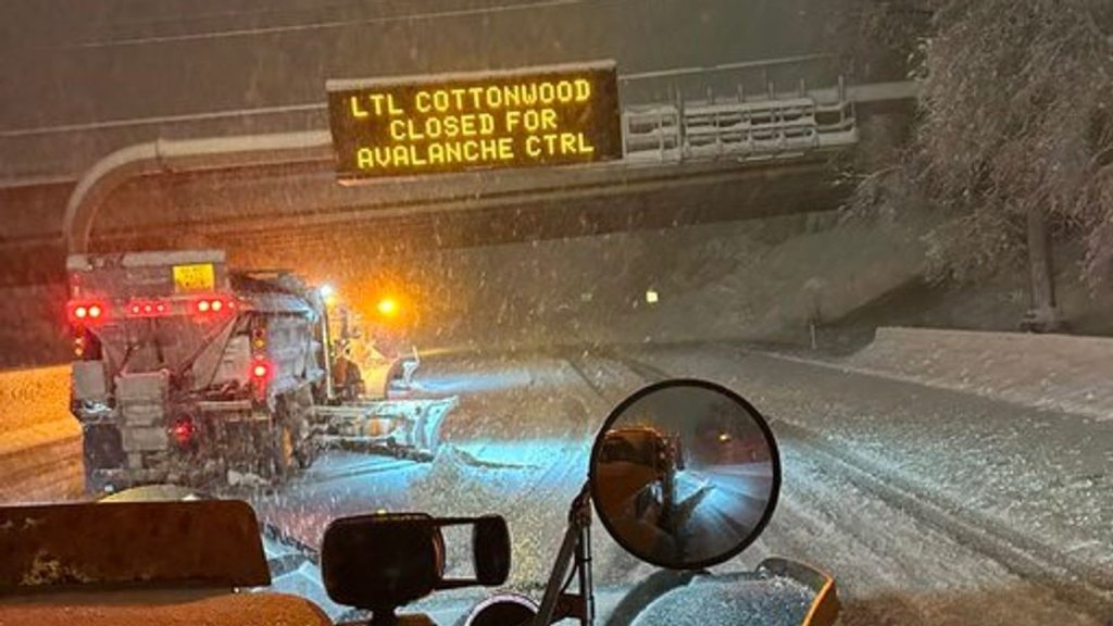
But the snow isn’t the only concern. Winds will pick up, gusting as high as 55 MPH in some areas. This combination will make it hard to see the road in front of you, and snow-covered highways will become slippery and dangerous. The I-94, I-35, and I-90 corridors could be particularly difficult to navigate, and you’ll want to avoid unnecessary travel if possible.
How This Will Impact Travel: High Winds and Slippery Roads
If you need to travel, be prepared for difficult driving conditions. High winds will create whiteout conditions, and snow will make roads slick. Travel on highways could be tricky, and it won’t take long for the roads to get covered in snow. Bridges and overpasses are especially prone to icing over, so be cautious when crossing them.
For those who can stay home, that’s definitely your best bet. If you must drive, make sure your car is winter-ready: full gas tank, proper tire pressure, and an emergency kit stocked with blankets, snacks, and water. Keep your phone charged, and check local news for road closures and updates.
Power outages are also a possibility, with the strong winds knocking over trees and power lines. If the lights go out, make sure you have flashlights, batteries, and non-perishable food ready, just in case. It’s always better to be prepared.
Winter Weather and Wind Advisories: How to Stay Safe
The National Weather Service has issued both a Winter Weather Advisory and a Wind Advisory for much of the region. This means you should be cautious about being outside for extended periods and avoid traveling unless absolutely necessary.
Here’s how you can stay safe:
- Limit travel: If you don’t have to be on the roads, stay home. Conditions will be dangerous for drivers, so give yourself the best chance of staying safe by staying put.
- Winterize your car: If you absolutely need to go out, make sure your vehicle is winter-ready. Check your tires, make sure your car has plenty of gas, and have an emergency kit on hand with essentials like water, snacks, blankets, and a flashlight.
- Dress in layers: The wind chill will make temperatures feel even colder than they actually are, so bundle up. Wear warm, insulated clothing if you have to go outside to shovel snow or run errands.
- Check on neighbors: If you have elderly neighbors or anyone who may need extra help during the storm, give them a call or stop by to make sure they’re prepared and safe.
When Will It End? Timing and Duration of the Storm
The storm will be underway by Wednesday morning and is expected to intensify in the afternoon, lasting into the evening. By Thursday morning, conditions should begin to improve as the storm moves out of the area, but don’t be surprised if there are lingering snow showers or slippery roads that stick around through the morning commute. The worst of the storm will be over by Thursday, but hazardous travel could continue into the early hours of the morning.
Stay Safe and Be Prepared
This winter storm is nothing to take lightly. Up to 10 inches of snow, paired with winds up to 55 MPH, means dangerous road conditions, potential power outages, and a few stressful hours ahead.
If you can stay inside, do so. If you absolutely must go out, take the necessary precautions: drive slowly, keep a winter emergency kit with you, and stay tuned to weather updates.


