
If you live in the San Bernardino or Riverside Mountains, get ready—a major winter storm is rolling in, and it’s bringing everything with it. Expect heavy snow, howling winds up to 60 mph, and seriously dangerous travel conditions through Friday morning.
The National Weather Service has issued a Winter Storm Warning from Wednesday evening through Friday at 10:00 AM PST for mountain towns like Big Bear, Lake Arrowhead, Idyllwild, and Pine Cove. If you have travel plans, be prepared for delays, possible road closures, and whiteout conditions.
How Much Snow Are We Talking?
- Above 5,500 feet: Expect 6 inches to a foot of snow.
- Higher elevations (Big Bear, Snow Valley): Could get even more—possibly well over a foot.
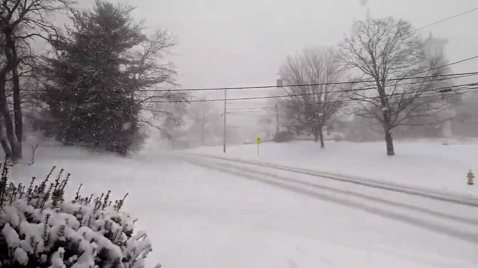
- Lower elevations: Mostly rain with some snowflakes, but the winds will still make driving tough.
Storm Timeline:
- Wednesday Night: Light snow begins, gradually intensifying overnight.
- Thursday: The worst of it hits—heavy snowfall, powerful winds, and dangerous roads.
- Friday Morning: Snow tapers off, but roads will still be icy and slick.
High Winds Will Make It Even Worse
This storm isn’t just about the snow—the winds will be brutal, making already tough conditions even more dangerous.
Gusts up to 60 mph could knock down trees and power lines.
Blowing snow = near-zero visibility in exposed areas.
Power outages are possible—so make sure to charge your devices!
If you need to drive, check road conditions first at roads.dot.ca.gov.
What This Means for Travel
If you’re driving in or near the mountains, expect a travel nightmare.
Snow-covered roads will be slick and dangerous.
Chains or 4WD will likely be required on major highways like 18, 38, and 330.
Road closures are possible—I-5 through the Grapevine and other key routes may be shut down.
Best advice? Stay off the roads if you can!
How to Get Through This Storm
Stock up early. Grab groceries, firewood, and any last-minute essentials before the storm gets worse.
Charge up your devices. Power could go out, especially in windier areas.
Pack an emergency kit if you must drive. Blankets, snacks, water, a flashlight—you don’t want to get stranded without them!
Stay inside if possible. Thursday is going to be brutal, and the roads won’t be much better on Friday.
When Will It Clear Up?
The worst of the storm should start to fade by Friday morning, but with cold temperatures sticking around, icy roads and slick conditions will likely last into the weekend.
This isn’t just a little snowfall—it’s a full-on winter storm with high winds, deep snow, and treacherous driving conditions. If you can stay off the roads, do it. If you have to be out, be smart, be safe, and take it slow.

