
Colorado Springs, get ready—because winter is about to remind us who’s in charge. After a brief spell of mild weather, a powerful winter storm is about to slam the area, bringing heavy snow, dangerous winds, and treacherous travel conditions. If you haven’t prepped for the cold, now is the time to stock up and stay put.
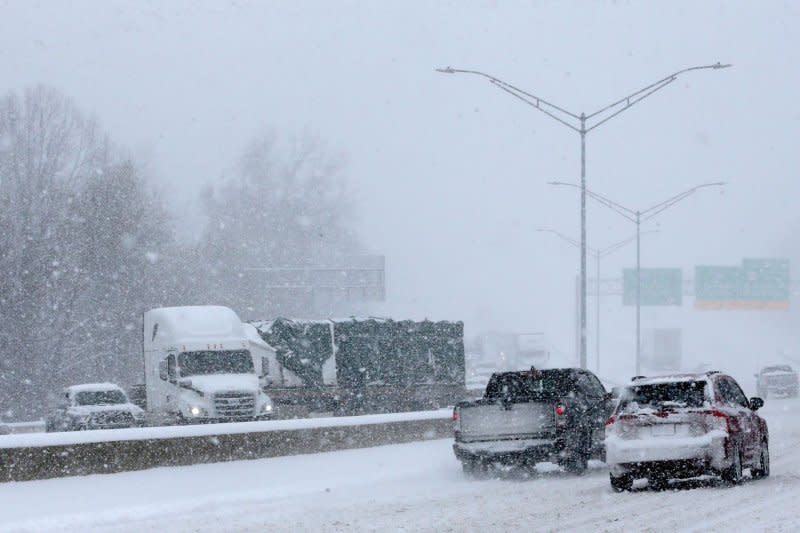
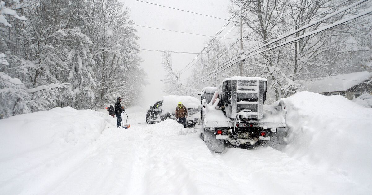
Forecasters warn that this storm system could bring blizzard-like conditions, whiteout visibility, and power outages as it barrels through the region. Roads will be icy, travel will be hazardous, and temperatures will drop fast. Snow accumulation could make for an absolute mess on highways, and strong winds will make it feel even colder than it is.
Current Conditions: The Calm Before the Storm
Right now, Colorado Springs is relatively mild with partly cloudy skies and temperatures hovering around 66°F (19°C). But don’t be fooled—this is just the calm before the chaos. By early Tuesday, the entire region will be under a full-on winter assault.
What to Expect & When the Storm Will Hit
-
Monday, March 3: A mostly cloudy and windy day, but still relatively warm, with a high near 61°F (16°C). The cold front will begin creeping in overnight, dropping temperatures to 33°F (1°C).
-
Tuesday, March 4: Brace for impact! The storm moves in with heavy snow, strong winds, and icy conditions. Snowfall could accumulate quickly, creating whiteout conditions. Winds will gust at dangerous speeds, making travel extremely hazardous. Highs will only reach 44°F (7°C), but the wind chill will make it feel much colder. By night, temperatures will plummet to 21°F (-6°C).
-
Wednesday, March 5: Snow tapers off, but bitter cold and strong winds persist. Highs will hover around 47°F (8°C), but blustery conditions will make it feel like it’s well below freezing.
-
Thursday, March 6: A brief break from the storm, with clouds and sunshine mixed throughout the day. But don’t let your guard down—another system may be on the horizon. Highs will stay chilly at 49°F (9°C).
-
Friday, March 7: More cold, more snow. Expect morning showers transitioning into snow flurries as temperatures barely reach 40°F (4°C). Roads could become slick and icy once again.
-
Saturday, March 8: Finally, some relief! Milder conditions return, with plenty of sunshine and a high near 55°F (13°C).
How to Prepare & Stay Safe During the Storm
- Avoid Travel if Possible – The roads will be icy, snowy, and extremely dangerous. If you must drive, carry an emergency kit, extra blankets, water, and food in case you get stranded.
- Prepare for Power Outages – High winds and heavy snow can bring down power lines. Charge your devices, gather extra batteries, and have an alternative heat source ready.
- Stock Up on Essentials – Once the storm starts, grocery stores may run low on supplies. Make sure you have food, water, medicine, and pet supplies stocked up before the snow hits.
- Bundle Up—It’s Going to Be Freezing! – With wind chills expected to drop temperatures significantly, make sure you have warm layers, gloves, hats, and thermal socks to stay safe from frostbite.
- Check on Family, Friends, and Neighbors – Elderly individuals and those with medical conditions may need help preparing for the storm. Make sure they have everything they need.
What’s Next?
Once the storm moves out, Colorado Springs will experience cold but calmer weather heading into the weekend. However, with another storm possible on Friday, residents should remain on high alert and stay informed about further developments.
Final Warning
This storm is not just another snowy day—it has the potential to be a serious winter event. If you live in Colorado Springs, take the warnings seriously and prepare ahead of time. Blizzards, icy roads, and power outages could create life-threatening conditions, so now is the time to act.

