
Michigan, – The lake effect snow that’s been keeping us on our toes for the last few days is finally starting to wind down, but there’s one last thing you’ll want to prepare for before the skies clear: a bitterly cold night. As the snow eases up, Tuesday night is shaping up to be one of the coldest we’ve seen this season, especially for those in the Upper Peninsula. Here’s everything you need to know to stay safe and warm.
Snow’s Final Goodbye
The lake effect snow that’s been falling heavily over the past few days will finally start to settle down by Tuesday morning. While it wasn’t a major snowstorm, it’s still enough to make things messy. Light snow showers are expected to continue through Monday evening, tapering off as the day turns to Tuesday. This means wet, slushy roads in the morning, so if you’re out driving, take extra care.
-
Snow Accumulation: Areas in northern and western Michigan will see about 1 to 3 inches of snow, with the Upper Peninsula getting some scattered snow showers. The snow totals won’t be anything extreme, but roads may still be slippery, especially early in the morning.
-
Wind Conditions: Wind will still be a factor, especially around the Great Lakes, so expect blowing snow at times. It might not be as intense, but it could still reduce visibility and make driving tricky in some areas.
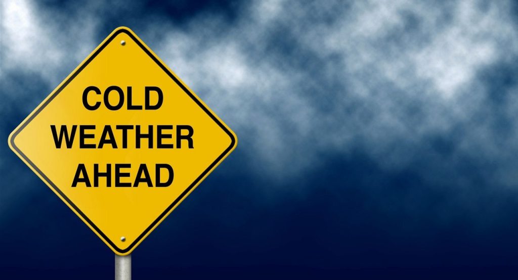
Bundle Up: A Bitterly Cold Night Ahead
Once the snow clears, the real chill sets in. Tuesday night will bring some of the coldest temperatures we’ve seen this season, especially in the Upper Peninsula, where the mercury is expected to plunge into the single digits or even below zero. If you’ve been enjoying a mild stretch of weather, you might be in for a shock.
-
Freezing Temperatures: The Upper Peninsula could see temperatures as low as -10°F or colder. Further south, the rest of Michigan will experience lows in the teens and low 20s. It’s not just about the temperature — the wind chill will make it feel even colder, especially in the north.
-
Wind Chill Impact: If you’re in the Upper Peninsula, the wind chill could drop the temperature well below zero. If you’re heading outside, make sure you’re dressed in plenty of layers — we’re talking hats, scarves, gloves, and warm boots to avoid frostbite. The cold will be harsh, so stay warm and safe.
Travel Tips: Watch Out for Icy Roads
Even though the snow will be winding down, traveling on icy roads will still be a concern, especially on Tuesday morning. Snow and ice left behind will likely freeze overnight, leaving slick patches on the roads, even in areas where snow has stopped falling.
-
Icy Patches: The early morning hours of Tuesday are likely to be the most hazardous, with wet roads refreezing and creating black ice. It’s essential to slow down and increase your following distance while driving.
-
Visibility Issues: While the snow will be tapering off, blowing snow could still reduce visibility, particularly along the lakeshores. Make sure your headlights are on and give yourself extra time to get where you need to go.
How to Stay Safe During This Cold Snap
Here are a few tips to help you stay warm and safe:
-
Dress in Layers: The cold temperatures will be fierce, especially at night, so wear multiple layers to keep your body heat in. Make sure to wear a warm coat, thick gloves, a scarf, and a hat. When it’s cold enough to hurt your skin, you’ll be glad you prepared.
-
Check Road Conditions Before You Drive: Always check the weather and road reports before heading out. Even if you think the snow has stopped, roads may still be icy and dangerous. Slow down, keep your distance from other cars, and drive cautiously.
-
Take Precautions Against Power Outages: Though it’s not expected to be widespread, winter weather can sometimes cause power outages, especially with gusty winds or ice. Keep an emergency kit handy with essentials like flashlights, blankets, and extra food and water in case you lose power.
-
Check on Neighbors: If you live in rural or remote areas, make sure to check on your neighbors, particularly the elderly or anyone who might have trouble with mobility. The cold weather can be particularly harsh for those without easy access to heat or transportation.
What’s Next: A Little Relief
While this cold snap will be rough, relief is on the way. After Tuesday night, temperatures will start to warm up by Wednesday and Thursday, with highs expected to rise into the 30s and 40s. So, while this frigid blast will only last for a short time, it’s still worth keeping those winter coats and gloves handy—Michigan weather can be tricky this time of year!
The lake effect snow is winding down, but a cold, icy night awaits, especially for those in the Upper Peninsula. With temperatures plunging and winds howling, it’s crucial to stay bundled up and stay cautious on the roads. Keep an eye on the forecast, and remember to check on loved ones, especially those who may struggle with the cold. Thankfully, this bitter chill will only last for a couple of days, and things will warm up soon enough!

