
San Diego residents, get ready for a major weather shift! A powerful storm system is moving in, bringing heavy rain, thunderstorms, and even snowfall in the mountains. The storm is expected to hit starting Wednesday afternoon, continuing through Thursday, and could cause dangerous conditions across the region.
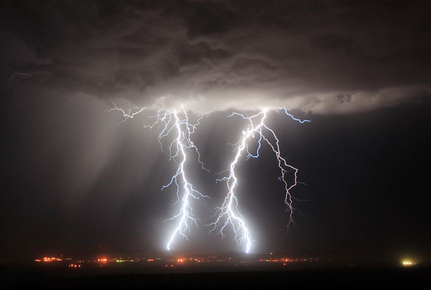
Heavy Rain and Thunderstorms
San Diego is set to receive between 0.5 to 1 inch of rain, with the heaviest downpours expected overnight on Wednesday into Thursday morning. Some areas might experience thunderstorms, bringing strong wind gusts and even small hail. Roads could become slippery, and flash flooding is possible in low-lying areas. Drivers should be extra cautious and avoid flooded streets.
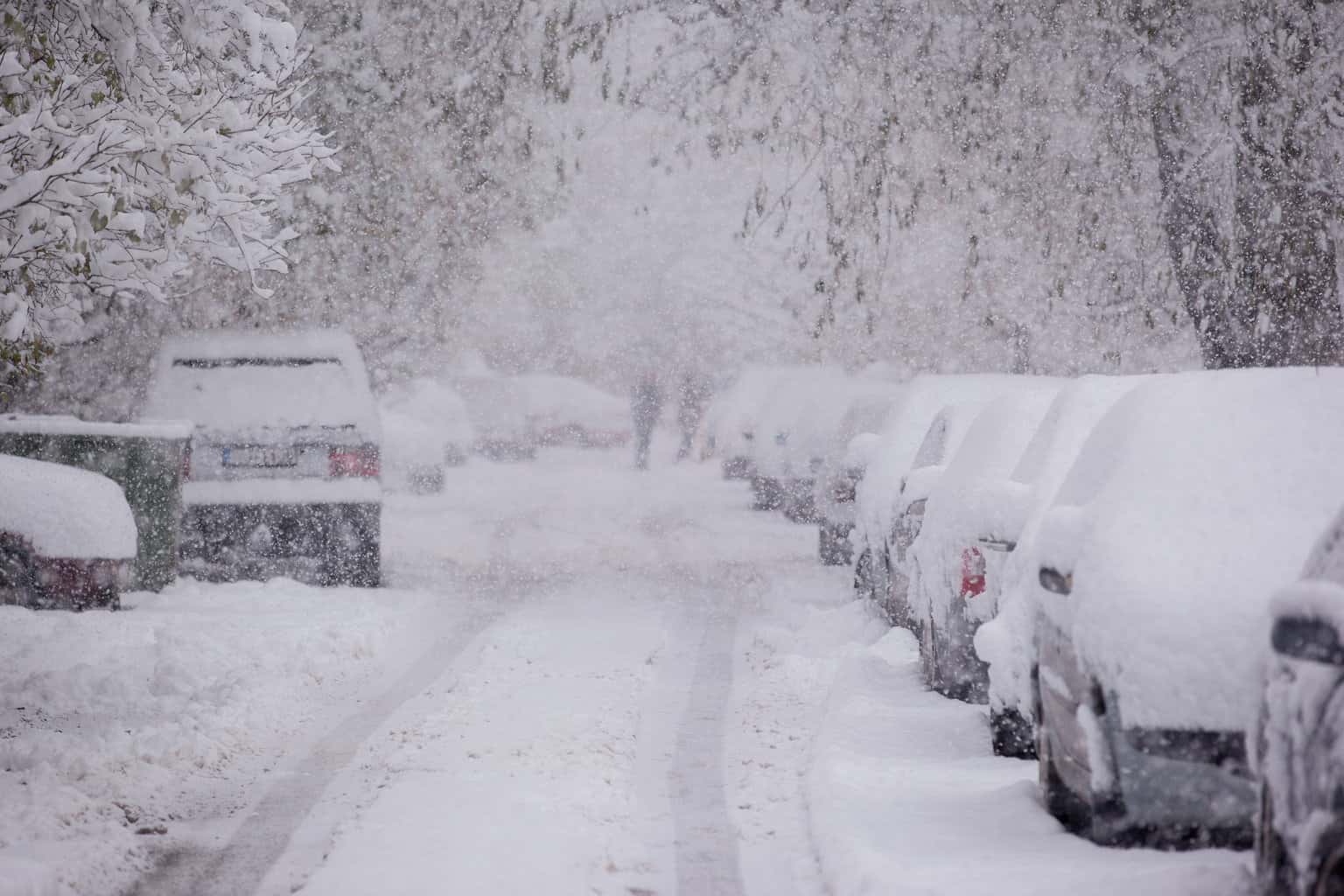
Mountain Snow on the Way
If you’re heading to the mountains, be prepared for winter conditions. A Winter Weather Advisory is in effect until Friday morning for areas above 4,000 feet, where up to 5 inches of snow is expected. Roads in higher elevations may become icy, and visibility could be significantly reduced. If you must travel, make sure to carry tire chains and check road conditions before heading out.
What You Need to Do
- For Coastal and Inland Areas: Secure outdoor furniture, drive carefully on wet roads, and avoid unnecessary travel during peak storm hours.
- For Mountain Areas: Expect snow-covered roads and difficult travel conditions. Postpone trips if possible and be prepared for delays.
- Stay Updated: Check weather forecasts regularly and follow advisories from the National Weather Service.
With unpredictable conditions ahead, it’s best to stay prepared. Keep an umbrella handy, drive cautiously, and, if you’re in the mountains, be ready for a winter wonderland! Stay safe, San Diego!

