
Winter in Colorado is always unpredictable, but this storm is not messing around. Through Friday night into Saturday, expect heavy snow, strong winds, and dangerous travel conditions across much of the state.
If you’ve got weekend plans, now’s the time to rethink them. This storm could bring up to 20 inches of snow in the mountains, 50 mph wind gusts, and blizzard-like conditions in some areas. Whether you’re driving, skiing, or just trying to get through the day, you’ll need to be prepared.
Who’s Getting the Worst of It?
Some parts of the state will see much harsher conditions than others. Here’s what to expect:
The Mountains (Aspen, Vail, Breckenridge, Steamboat, and Beyond)
- A Winter Storm Warning is in effect until Friday at 11 PM MST.
- 10 to 20 inches of snow is expected, especially at higher elevations.
- Winds up to 50 mph will create whiteout conditions and dangerous wind chills.
- Avalanche danger is HIGH—backcountry travel is strongly discouraged!
The Eastern Plains & Foothills
- Blowing and drifting snow will create near-zero visibility at times.
- Winds of 40-50 mph could lead to travel headaches on I-70 and I-25.
- While snowfall totals may not be extreme, the winds will make driving very dangerous.
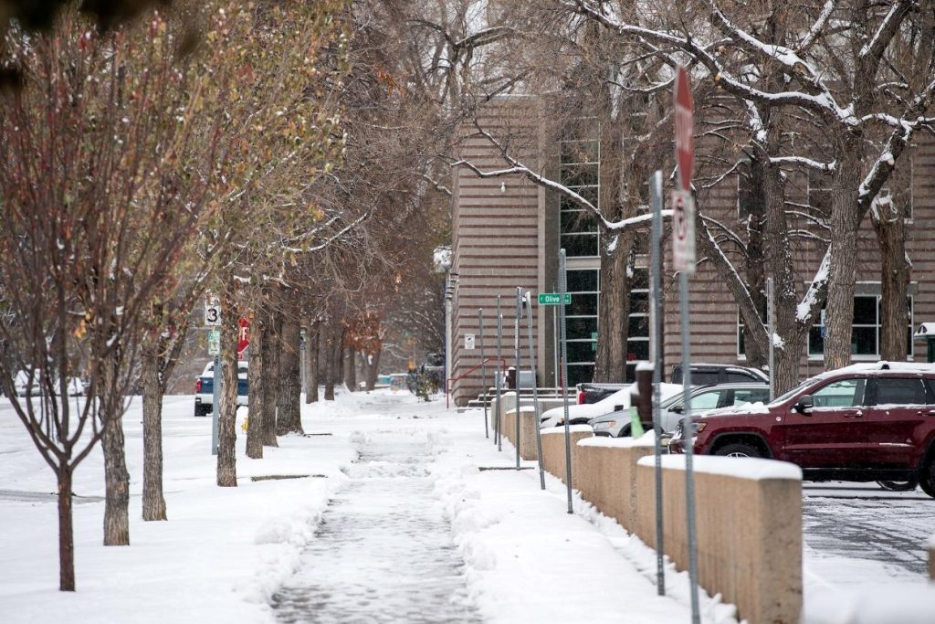
What About Denver & Colorado Springs?
- Denver: Cloudy and cold with a few snow showers, highs around 38°F (3°C) and lows dropping to 25°F (-4°C).
- Colorado Springs: Windy and much colder, highs near 39°F (4°C) and lows around 22°F (-6°C).
- While these cities won’t see the worst of the storm, roads will still be slick, and the winds will make it feel even colder.
What You Should Do Right Now
Reconsider travel plans. If you don’t have to drive into the mountains, don’t. If you must, bring an emergency kit, blankets, food, and extra supplies.
Avoid backcountry skiing or hiking. Avalanche risks are HIGH, and conditions can change in an instant. Even experienced skiers should stay out of high-risk areas.
Be ready for power outages. Heavy snow + strong winds = downed power lines. Have flashlights, blankets, and backup power ready just in case.
Stay updated. Weather can shift fast in Colorado, so keep checking local forecasts and road conditions before heading out.
When Will This Storm Move Out?
Snow will start to ease late Friday night, but windy, icy conditions will linger into Saturday. By Saturday afternoon, the worst should be over, but roads may still be slick.
This isn’t just another light snow—it’s a powerful storm with serious travel hazards and dangerous conditions, especially in the mountains. If you can avoid unnecessary trips, do it. If you must be out, drive carefully, bundle up, and be prepared for anything.

