
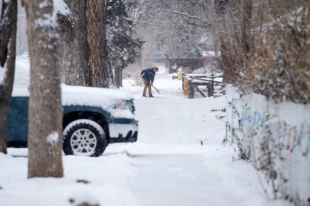
If you thought winter was winding down—think again. Colorado is about to get slammed with a powerful winter storm, bringing up to a foot of snow, 50+ mph winds, and dangerously cold conditions through Friday night. This isn’t just a light dusting—it’s the kind of storm that can shut down highways, cause whiteout conditions, and make travel nearly impossible.
Who’s Getting the Worst of It?
Not everyone will see the same impacts, but here’s how it’s shaping up across the state:
-
Mountain Regions (Summit, Grand, and Surrounding Counties): If you’re in the high country (above 9,000 feet), get ready for a serious snow dump. Expect anywhere from 4 to 12 inches, with some higher peaks seeing even more. The worst of it is expected Friday afternoon into the evening, with 55 mph wind gusts making things even more intense.
-
Eastern Plains & Palmer Divide: This is where things could get downright dangerous. Blizzard conditions are possible, thanks to heavy snow and winds gusting up to 70 mph. If you’re traveling along I-70 or I-25, be prepared for whiteout conditions and potential road closures. Visibility could drop to zero in a matter of minutes.
What About the Cities?
-
Denver: Mostly cloudy and chilly, with a high around 38°F (3°C) and lows dropping to 25°F (-4°C). Light snow possible later in the evening.
-
Colorado Springs: Breezy and cold, with highs near 39°F (4°C) and lows around 22°F (-6°C).
-
Fort Collins & Boulder: Snow showers possible, but the strongest winds and heaviest snow will stay south and east.
What You Need to Do Right Now
Think twice before traveling. If you can delay your plans, do it. Highways through the mountains and Eastern Plains could become impassable due to blowing snow and ice.
Prepare for possible power outages. Heavy snow and strong winds could knock down power lines, so make sure you have flashlights, blankets, and extra food and water just in case.
Stay off the roads if possible. Visibility will be extremely low, and roads will be covered in ice and snow. If you must drive, pack an emergency kit with blankets, food, and water.
Stay updated. Storms like this can shift unexpectedly, so keep an eye on local weather alerts and be ready to adjust your plans.
When Will It End?
The worst of the snow should start winding down Friday night, but cold air and gusty winds could keep roads slick and icy into Saturday morning.
This isn’t your typical snowfall—this is a serious winter storm that could make travel dangerous and disrupt daily life. If you’re in the impacted areas, stay home if you can, be prepared for potential power outages, and avoid unnecessary risks.

