
Charleston, buckle up—the weather is about to take a serious turn! After days of calm, a powerful storm system is moving in, bringing a Tornado Watch, gusty winds, and wild temperature swings that could cause significant disruptions across the area. If you have outdoor plans or travel scheduled, you’ll need to stay alert—this storm is nothing to take lightly.
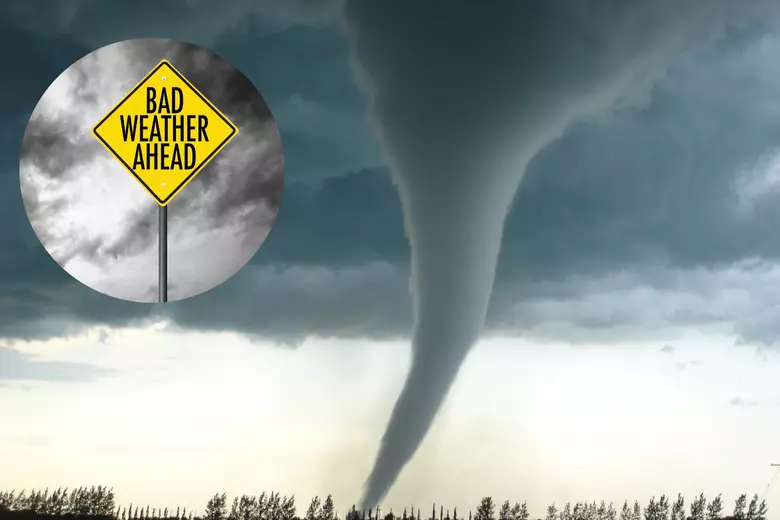
The National Weather Service has issued a Tornado Watch for parts of South Carolina and North Carolina, putting Charleston right in the zone of concern. That means severe thunderstorms, damaging winds, and even the possibility of tornadoes are in play. This same system has already caused destruction in other parts of the South, and now it’s heading our way.
Right now, Charleston is enjoying clear skies and a crisp 46°F (8°C), but this is just the calm before the storm. By the weekend, expect drastic shifts in temperatures, stormy skies, and a significant cool-down.
What’s Happening with Charleston’s Weather?
A strong storm system that has already brought tornadoes and severe weather to other parts of the Southeast is now targeting the East Coast. The biggest concerns for Charleston are:
- Tornado Watch: Conditions are favorable for tornadoes to develop. Stay alert and be ready to take cover if warnings are issued.
- Strong Winds: Gusts could reach damaging speeds, making outdoor activities dangerous.
- Thunderstorms & Heavy Rain: Expect periods of rain and possible severe storms, especially by the weekend.
- Temperature Swings: After a warm stretch, Charleston will see a drop in temperatures, reminding us that winter isn’t quite done yet.
This type of fast-changing weather is typical for spring in the South, but it still requires preparation—especially when tornadoes are a possibility.
Breaking Down the Forecast
Thursday (A Breezy and Mild Start
- High: 62°F (17°C) | Low: 41°F (5°C)
- Mostly sunny but windy. It will be a pleasant day, but the wind will start to pick up in the afternoon—a sign that bigger changes are coming.
Friday (Still Calm, But Watch the Skies!
- High: 63°F (17°C) | Low: 52°F (11°C)
- Partly sunny and comfortable, but clouds will start building up, hinting at the approaching storm system.
Saturday (The Warmest Day Before the Storm
- High: 72°F (22°C) | Low: 53°F (12°C)
- A mix of sun and clouds, with warm temperatures making it feel spring-like—but don’t be fooled! This warmth is fueling the incoming storm system.
Sunday (Stormy and Dangerous!
- High: 63°F (17°C) | Low: 45°F (7°C)
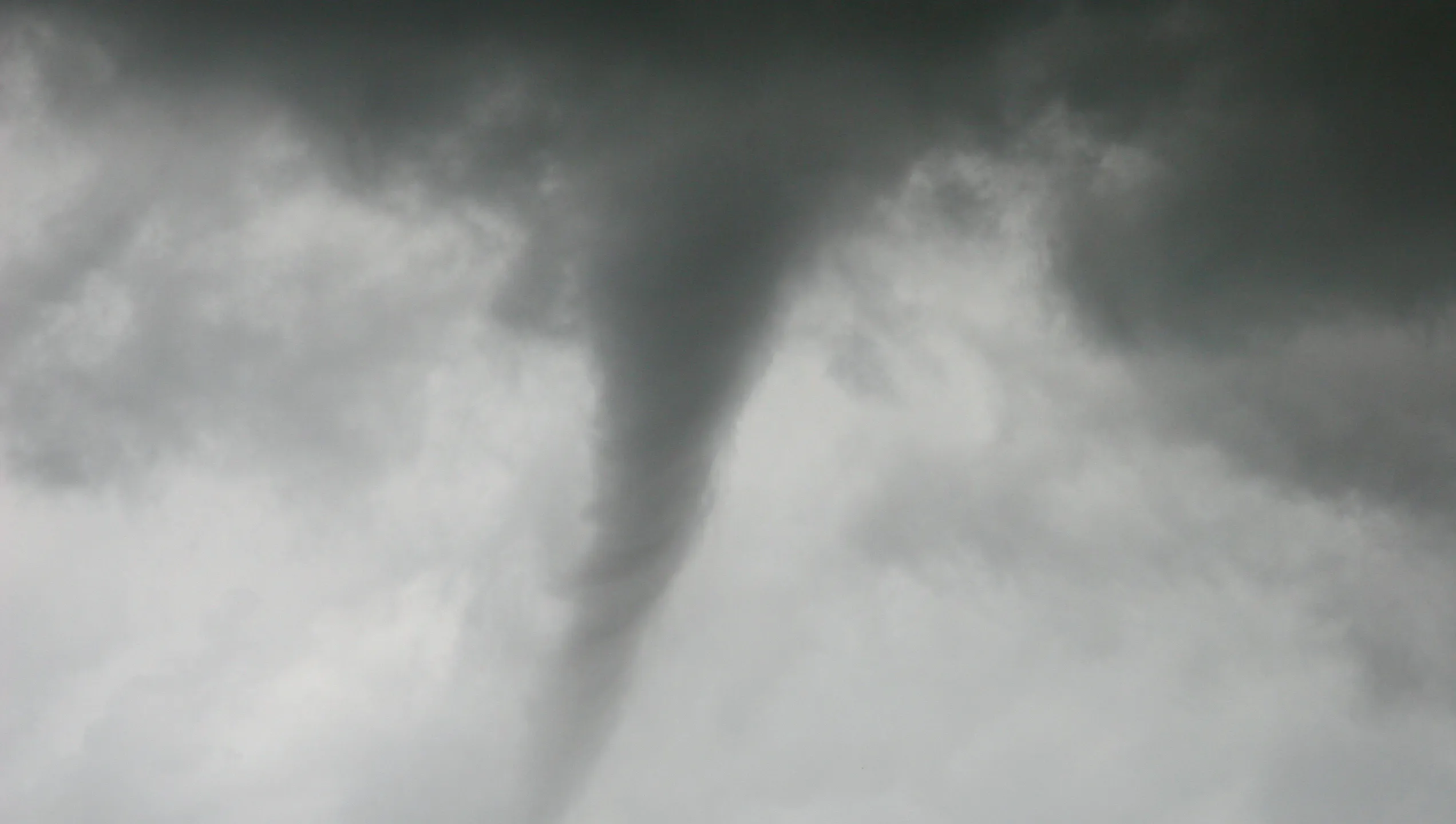
- Heavy rain, possible thunderstorms, and a tornado threat. This will be the most dangerous day of the forecast, with a high chance of strong winds and severe weather.
What Charleston Residents Need to Do to Stay Safe
- Stay Alert for Tornado Warnings: If a tornado warning is issued, take cover immediately in a low, windowless interior space. Tornadoes can form quickly, so don’t wait until the last minute.
- Prepare for Strong Winds: Secure outdoor furniture, decorations, and trash bins—anything that could become a flying hazard in high winds.
- Plan for Heavy Rain and Flooding: Streets in low-lying areas could flood quickly if heavy rain lingers. Avoid driving through flooded roads—turn around, don’t drown!
- Charge Your Devices and Be Ready for Power Outages: Storms and strong winds can knock out power. Charge your phone, have flashlights ready, and keep extra batteries on hand.
- Monitor Local Weather Reports: This storm system is unpredictable, and conditions could change rapidly. Stay informed and be prepared for last-minute warnings or advisories.
Final Thoughts
Charleston is in for a wild weather ride over the next few days, with warm temperatures giving way to severe storms, strong winds, and the risk of tornadoes. The biggest danger period will be Sunday, when the storm system is expected to bring heavy rain, high winds, and the potential for severe weather.

