
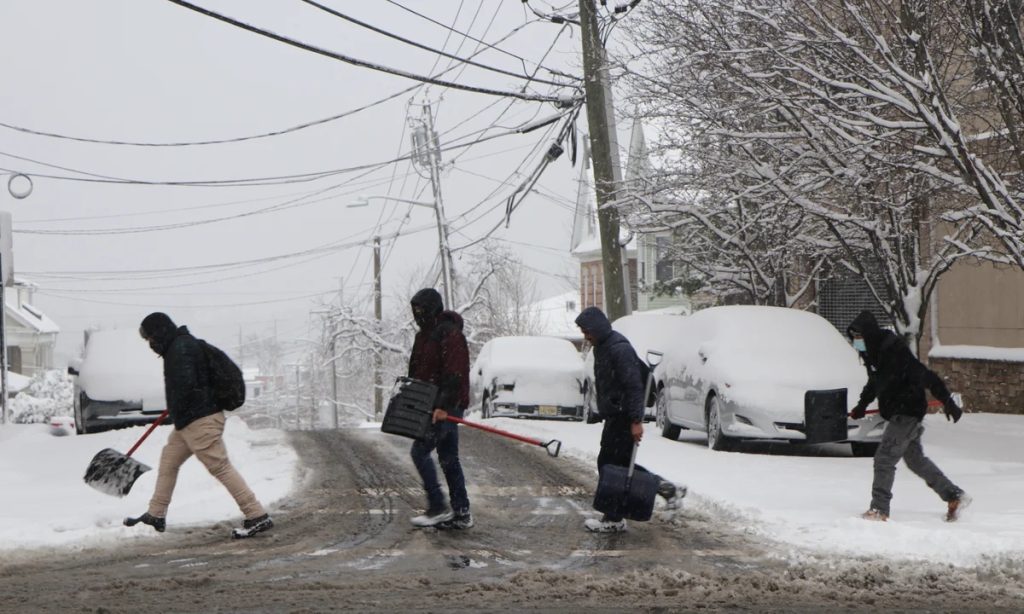
New Jersey, it’s time to get ready – a winter storm is heading our way, and it’s set to bring 4 to 6 inches of snow to coastal areas, with 2 to 4 inches expected in the interior, including Philadelphia and surrounding regions. If you’ve got midweek plans, it’s a good idea to start thinking ahead now.
What’s Coming?
Forecasters at the National Weather Service are closely monitoring a series of low-pressure systems moving through the Mid-Atlantic. As these systems pass south of New Jersey, they’ll bring waves of snow starting late Tuesday and continuing through Wednesday. There’s still a chance for changes in snowfall totals, depending on how the system develops.
- Coastal Areas (Atlantic City, Cape May, Toms River): Expect 4-6 inches of snow, with the possibility of heavier bands if the storm strengthens.
- Philadelphia & Interior New Jersey: Likely to see 2-4 inches, though some areas may see more if snowfall rates increase.
- Timing: Snow will begin late Tuesday night, peak Wednesday morning, and gradually taper off by the afternoon.
How This Could Impact You
This isn’t shaping up to be a historic blizzard, but it will create some challenges, especially for commuters. Here’s what to watch for:
- Slippery Roads: Snow-covered and icy roads will make driving hazardous, especially in the morning. Bridges and overpasses will freeze first.
- Power Outages Possible: Wet, heavy snow could weigh down tree limbs and power lines, potentially leading to outages in some areas.
- Coastal Flooding Concerns: High tides combined with the storm could bring minor coastal flooding, especially in flood-prone shore towns.
How to Get Ready
Don’t wait until the last minute—use this time to prepare now so you’re not scrambling when the snow starts falling.
- Limit Travel if Possible: If you don’t need to be on the roads, stay home. If you must drive, take it slow and give yourself extra time.
- Stock Up on Essentials: Grab groceries, medications, and any emergency supplies in case road conditions make getting out difficult.
- Prepare for Power Outages: Charge your devices and have flashlights, blankets, and backup batteries ready.
- Stay Updated: Keep an eye on the forecast, as storm projections could shift. Follow the National Weather Service and local news for updates.
What Happens Next?
After the snow stops, temperatures are expected to drop into the teens, meaning any melted snow will refreeze overnight. Black ice will be a major hazard, especially on sidewalks, driveways, and untreated roads. Expect slippery conditions to linger into Thursday morning.
This isn’t the storm of the century, but it’s enough to cause disruptions and headaches across New Jersey. The best way to handle it? Stay ahead of the weather—plan, prepare, and take it easy on the roads.

