
Hey Southwest Louisiana, heads up—some serious storms are on the horizon. Starting Friday night and lasting through the weekend, we’re looking at heavy rain, strong winds, and even the possibility of tornadoes. If you’re in Lake Charles, Lafayette, or Alexandria, now is the time to prepare. This isn’t just another rainy weekend—things could get rough fast.
What’s Coming?
Meteorologists are keeping a close eye on this system, and it looks like it’s packing a punch. Here’s what we’re dealing with:
- Heavy Rain & Flooding: Several inches of rain could soak the area, leading to flooded roads and dangerous driving conditions. If your home is in a low-lying area, have a plan in place.
- Strong Winds: Expect powerful gusts that could bring down trees and power lines, potentially leading to outages.
- Severe Thunderstorms: Some storms could turn intense, bringing high winds, hail, and even isolated tornadoes.
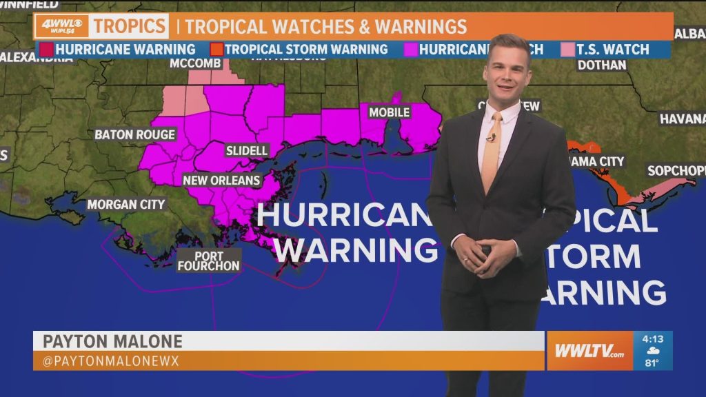
The National Weather Service (NWS) has already issued alerts, with Sunday looking like the day when conditions could be at their worst.
Your Weekend Forecast
Lake Charles:
- Friday: Breezy with scattered thunderstorms; expect wet roads and minor flooding. High: 75°F (24°C), Low: 66°F (19°C).
- Saturday: Cloudy, breezy, and stormy. High: 78°F (26°C), Low: 69°F (21°C).
- Sunday: The strongest storms could hit, bringing heavy rain, strong winds, and the risk of hail or tornadoes. High: 83°F (28°C), Low: 65°F (18°C).
Lafayette:
- Friday: Cloudy and breezy with showers and storms developing. High: 76°F (24°C), Low: 68°F (20°C).
- Saturday: Scattered storms with periods of heavy rain. High: 80°F (27°C), Low: 70°F (21°C).
- Sunday: The biggest storm threat—damaging winds, flash flooding, and possible tornadoes. High: 84°F (29°C), Low: 66°F (19°C).
Why You Should Take This Seriously
If you’ve lived in Louisiana long enough, you know how quickly storms can escalate. Just last month, severe weather ripped through parts of the South, and we all know how fast things can go from calm to chaotic.
Meteorologist David Bernard puts it plainly: “These storms could strengthen quickly. If you don’t have a plan, now’s the time to make one.”
How to Get Ready Now
Don’t wait until the rain starts falling—take these steps today:
Stay Informed: Follow weather updates through apps, local news, and NOAA Weather Radio.
Stock Up on Essentials: Have bottled water, non-perishable food, flashlights, extra batteries, and a first-aid kit in case of power outages.
Secure Outdoor Items: Strong winds can turn patio furniture, grills, and decorations into dangerous projectiles. Bring them inside or tie them down.
Know Your Safe Spot: If a tornado warning is issued, move to an interior room on the lowest floor, away from windows.
Prepare for Flooding: If you live in a flood-prone area, have an evacuation plan ready. And remember—never drive through flooded roads. Just a few inches of water can sweep a car away.
Storms can develop quickly, leaving little time to react. This weekend’s system has the potential to be dangerous, so don’t take any chances. Set up weather alerts, review your emergency plan, and be ready before the storm hits.

