
If you live in Tennessee or Mississippi, this is your early warning—dangerous storms are coming Friday night into Saturday, and they could pack a serious punch.
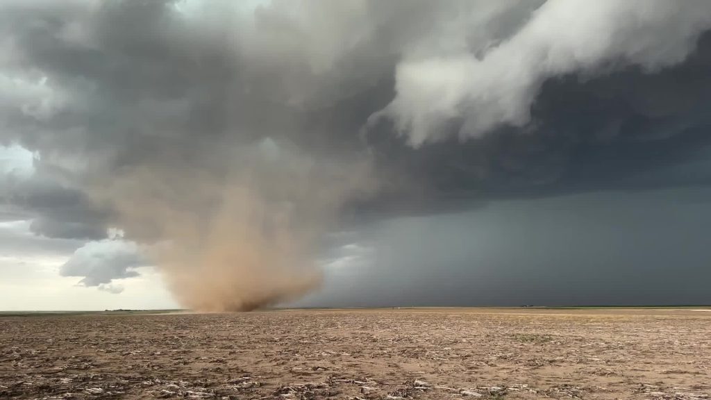
We’re talking about the potential for tornadoes, damaging winds, heavy rain, and large hail. Flash flooding is also a concern, especially in low-lying areas. If you haven’t already, now is the time to have a safety plan in place.
This is what you need to know before the storms hit.
Friday, March 15 – A Warm, Breezy Setup
Friday might actually feel pretty nice—warm, breezy, and mostly dry. But don’t let the calm fool you. This is the setup for what’s coming next.
- Nashville, TN: 80°F (27°C) – Warm, breezy, and cloudy at times.
- Memphis, TN: 77°F (25°C) – Mild with increasing clouds, a little windy.
- Jackson, MS: 80°F (27°C) – Feeling almost like summer, with gusty winds.
- Tupelo, MS: 80°F (26°C) – Warm and breezy, but things change soon.
The takeaway? Friday might feel like just another spring day—but it’s the calm before the storm.
Saturday, March 16 – The Main Event
By Saturday, conditions will rapidly change, and that’s when things get dangerous. Severe thunderstorms will develop, bringing a real risk of tornadoes, damaging winds, and flash flooding.
- Nashville, TN: 75°F (24°C) – Stormy, with strong winds and tornado potential.
- Memphis, TN: 67°F (20°C) – Heavy rain, possible hail, and damaging winds.
- Jackson, MS: 76°F (24°C) – High tornado risk, along with flash flooding.
- Tupelo, MS: 73°F (23°C) – Severe thunderstorms, with strong winds.
What’s the biggest concern?
✔ Winds over 60 mph – strong enough to knock down trees and power lines.
✔ Tornadoes possible – especially in Mississippi and western Tennessee.
✔ Flash flooding – heavy rain could make roads dangerous.
✔ Large hail – damaging to cars, roofs, and crops.
When will the storms hit?
- Friday Night: Storms may start developing late.
- Saturday Morning – Afternoon: The worst of the storms is expected.
- Saturday Evening: The system moves east, but lingering rain is possible.
How to Prepare NOW
✔ Stay weather-aware: Check for updates often. Storm paths can shift.
✔ Know where to take shelter: If a tornado warning is issued, act fast.
✔ Prepare an emergency kit: Flashlights, batteries, water, food, and medications should be within reach.
✔ Charge your devices: If power goes out, you’ll need your phone.
✔ Secure outdoor items: Patio furniture and trash cans could turn into flying debris.
If a tornado warning is issued:
- Go to the lowest level of your home, away from windows.
- Mobile homes are NOT safe. Find a more secure structure.
- Wear sturdy shoes and a helmet—they can protect you from debris.

